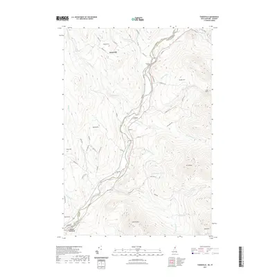
2021 Map of Tinkerville
USGS Topo · Published 2021About this map
The Connecticut River serves as the defining border between New Hampshire and Vermont in this detailed survey, winding through a valley of small agricultural settlements and rural hillsides. The crossing at Columbia Bridge and the nearby village of Cones represent critical points of connection and habitation along the river corridor. The landscape is deeply tied to the drainage systems of the White Mountains and Northeast Kingdom, with numerous tributaries such as Simms Stream, Mill Brook, and Schoolhouse Brook carving through the upland terrain.
Find a feature on this map
65 named features on this map. Tap any name to fly to it.
Don’t see what you’re looking for? This feature index may not catch every label — zoom into the map to look around manually.
Map Details
Editions of this 2021 Tinkerville Map
This is the sole edition of this map. No revisions or reprints were ever made.
Other maps of this area

1920 · Guildhall
USGS Topo · 1:62,500

1929 · Averill
USGS Topo · 1:62,500

1930 · Percy
USGS Topo · 1:62,500

1930 · Dixville
USGS Topo · 1:62,500

1931 · Guildhall
USGS Topo · 1:48,000

1933 · Guildhall
USGS Topo · 1:48,000

1933 · Dixville
USGS Topo · 1:62,500

1934 · Percy
USGS Topo · 1:62,500

1934 · Dixville
USGS Topo · 1:62,500

1937 · Guildhall
USGS Topo · 1:62,500