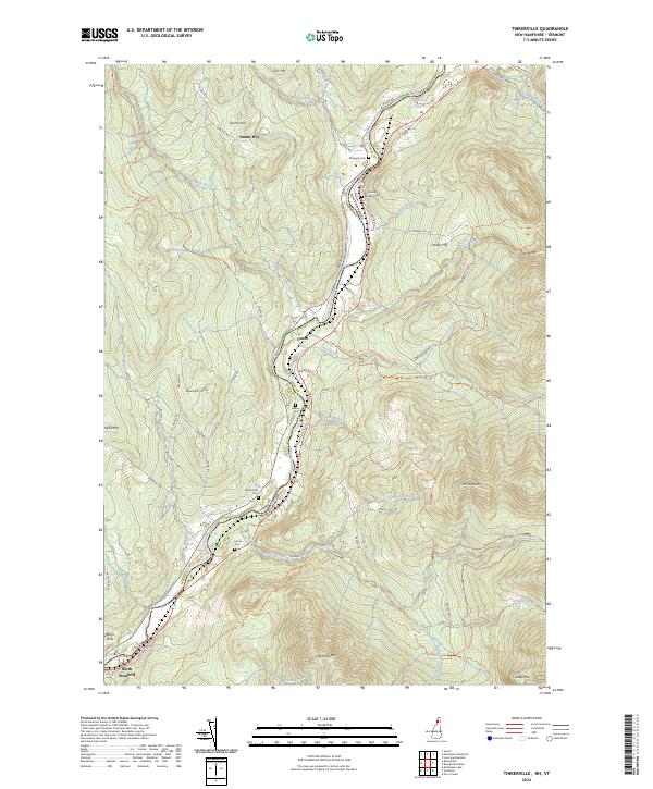
2024 Map of Tinkerville
USGS Topo · Published 2024About this map
The Connecticut River serves as the central artery and primary boundary on this sheet, separating Vermont from New Hampshire as it winds through a landscape of high ridges and narrow valleys. The riverside topography supports several small clusters of activity, most notably at North Stratford and the smaller settlement of Cones. This modern survey reveals a persistent pattern of rural life, where historical family and community connections are preserved in a series of local cemeteries, including Blodgett Cem, Columbia Bridge Cem, and Healey Cem. The terrain is defined by prominent peaks like Simms Hill, Buzzell Hill, and the significant elevation of Lightning Mtn. Numerous named tributaries, such as Lyman Brook and Simms Stream, drain the surrounding highlands into the river basin, while a network of rural roads like Spencer Hill Rd and N Jordan Hill Rd provides access to the region's interior reaches.
Find a feature on this map
69 named features on this map. Tap any name to fly to it.
Don’t see what you’re looking for? This feature index may not catch every label — zoom into the map to look around manually.
Map Details
Editions of this 2024 Tinkerville Map
This is the sole edition of this map. No revisions or reprints were ever made.
Other maps of this area

1920 · Guildhall
USGS Topo · 1:62,500

1929 · Averill
USGS Topo · 1:62,500

1930 · Percy
USGS Topo · 1:62,500

1930 · Dixville
USGS Topo · 1:62,500

1931 · Guildhall
USGS Topo · 1:48,000

1933 · Guildhall
USGS Topo · 1:48,000

1933 · Dixville
USGS Topo · 1:62,500

1934 · Percy
USGS Topo · 1:62,500

1934 · Dixville
USGS Topo · 1:62,500

1937 · Guildhall
USGS Topo · 1:62,500