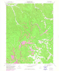
1966 Map of Tioga
USGS Topo · Published 1982About this map
The Baltimore and Ohio railroad line snakes through the hollows of the central Appalachian landscape, serving industrial sites like the tipple near Tioga. This mid-1960s survey, updated in the early 1980s, illustrates a region defined by narrow valley settlements and extensive resource extraction. Industrial markers such as a Tailings Pond, a Mine Dump, and numerous gas wells appear alongside rural community fixtures, including Walnut Grove Chapel and the Boggs Cemetery. The drainage network is complex, featuring the Birch River and its many tributaries like Poplar Creek and Anthony Creek. Revisions noted in purple highlight the evolving infrastructure of the era, particularly near the Webster and Nicholas county line, where winding routes like Oldhe Road provide passage through the steep terrain of Hamilton and Glade.
Find a feature on this map
66 named features on this map. Tap any name to fly to it.
Don’t see what you’re looking for? This feature index may not catch every label — zoom into the map to look around manually.
Map Details
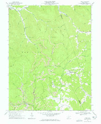
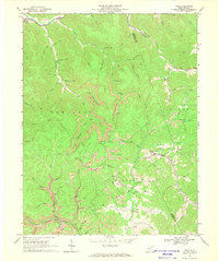
Editions of this 1966 Tioga Map
3 editions found
Other maps of this area

1889 · Nicholas
USGS Topo · 1:125,000

1891 · Nicholas
USGS Topo · 1:125,000

1893 · Sutton
USGS Topo · 1:125,000

1901 · Nicholas
USGS Topo · 1:125,000

1908 · Gassaway
USGS Topo · 1:48,000

1908 · Sutton
USGS Topo · 1:48,000

1910 · Sutton Special
USGS Topo · 1:62,500

1910 · Gassaway
USGS Topo · 1:62,500

1913 · Summersville
USGS Topo · 1:48,000

1915 · Cowen
USGS Topo · 1:48,000