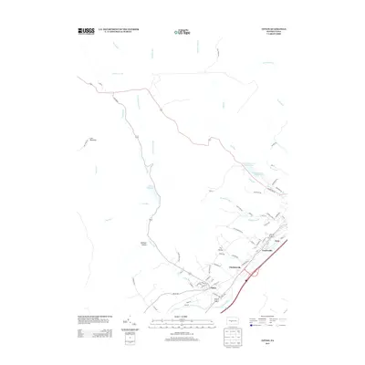
2013 Map of Tipton
USGS Topo · Published 2013About this map
Tipton and Charlottsville sit along the corridor of the Little Juniata River, representing a clustered settlement pattern typical of the Appalachian valleys in Blair County. This 2013 topographic study shows the community infrastructure supporting the larger nearby borough of Tyrone, including the Tyrone Reservoir Number One and Tyrone Reservoir Number Two situated along Sink Run.
Find a feature on this map
72 named features on this map. Tap any name to fly to it.
Don’t see what you’re looking for? This feature index may not catch every label — zoom into the map to look around manually.
Map Details
Editions of this 2013 Tipton Map
This is the sole edition of this map. No revisions or reprints were ever made.
Other maps of this area

1903 · Houtzdale
USGS Topo · 1:62,500

1905 · Houtzdale
USGS Topo · 1:62,500

1920 · Altoona
USGS Topo · 1:62,500

1922 · Philipsburg
USGS Topo · 1:62,500

1922 · Altoona
USGS Topo · 1:62,500

1923 · Tyrone
USGS Topo · 1:62,500

1929 · Tyrone
USGS Topo · 1:48,000

1933 · Tyrone
USGS Topo · 1:62,500

1939 · Philipsburg
USGS Topo · 1:62,500

1944 · Houtzdale
USGS Topo · 1:24,000