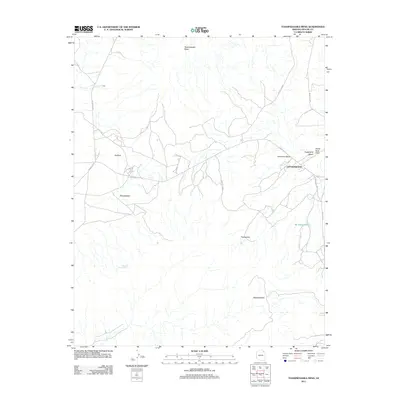
2011 Map of Toadindaaska Mesa
USGS Topo · Published 2011About this map
Toadindaaska Mesa dominates the northern reaches of this high-desert landscape in the early twenty-first century, part of a terrain defined by traditional Navajo (Diné) place names and a network of Bureau of Indian Affairs routes. The small settlement of Cottonwood sits near the eastern edge of the quadrangle, serving as a focal point for the surrounding homesteads and ranching roads. Drainage patterns are vital to this arid environment, evidenced by the presence of Chewed Nose Springs and the Tselayazhe Wash, which flows southward toward Be Akeghalchee. Prominent landforms such as Tabahinez Mesa, White Rock Point, and the heights of Dzillibai provide significant landmarks for navigation across the territory. The map details an intricate web of local travel, including Indian Rte 4 and Indian Rte 29, illustrating how modern infrastructure follows the natural contours of the mesas.
Find a feature on this map
19 named features on this map. Tap any name to fly to it.
Don’t see what you’re looking for? This feature index may not catch every label — zoom into the map to look around manually.
Map Details
Editions of this 2011 Toadindaaska Mesa Map
This is the sole edition of this map. No revisions or reprints were ever made.
Other maps of this area

1883 · Marsh Pass
USGS Topo · 1:250,000

1883 · Tusayan
USGS Topo · 1:250,000

1886 · Tusayan
USGS Topo · 1:250,000

1886 · Fort Defiance
USGS Topo · 1:250,000

1892 · Fort Defiance
USGS Topo · 1:250,000

1892 · Marsh Pass
USGS Topo · 1:250,000

1892 · Canyon De Chelly
USGS Topo · 1:250,000

1947 · Flagstaff
USGS Topo · 1:250,000

1954 · Shiprock
USGS Topo · 1:250,000

1954 · Flagstaff
USGS Topo · 1:250,000