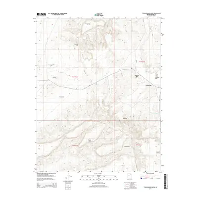
2014 Map of Toadindaaska Mesa
USGS Topo · Published 2014About this map
Toadindaaska Mesa and the surrounding high desert terrain dominate this landscape in the Navajo Nation during the early 21st century. The settlement of Cottonwood is the primary residential hub, situated near the intersection of several Bureau of Indian Affairs routes including Bia-4 and Bia-25. The map reveals a complex system of washes and drainage patterns, such as Cottonwood Wash and Tselayazhe Wash, which carve through the high plateaus. Landforms like Balakai Mesa and Tabahinez Mesa define the local topography, while localized water sources such as Chewed Nose Springs and Salina Springs provide vital points of interest in an otherwise arid environment. This survey captures the rural infrastructure of the Chinle Agency, showing how modern roads and traditional land use coexist among features like Atsadahsidahi and White Rock Point.
Find a feature on this map
29 named features on this map. Tap any name to fly to it.
Don’t see what you’re looking for? This feature index may not catch every label — zoom into the map to look around manually.
Map Details
Editions of this 2014 Toadindaaska Mesa Map
This is the sole edition of this map. No revisions or reprints were ever made.
Other maps of this area

1883 · Marsh Pass
USGS Topo · 1:250,000

1883 · Tusayan
USGS Topo · 1:250,000

1886 · Tusayan
USGS Topo · 1:250,000

1886 · Fort Defiance
USGS Topo · 1:250,000

1892 · Fort Defiance
USGS Topo · 1:250,000

1892 · Marsh Pass
USGS Topo · 1:250,000

1892 · Canyon De Chelly
USGS Topo · 1:250,000

1947 · Flagstaff
USGS Topo · 1:250,000

1954 · Shiprock
USGS Topo · 1:250,000

1954 · Flagstaff
USGS Topo · 1:250,000