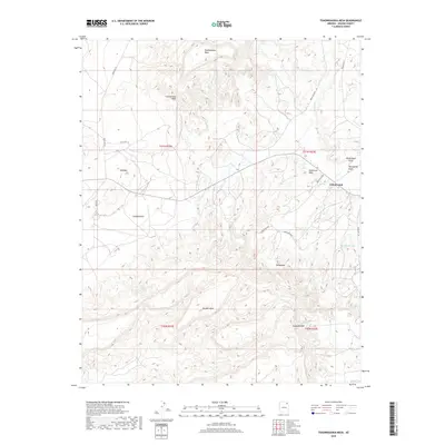
2018 Map of Toadindaaska Mesa
USGS Topo · Published 2018About this map
Toadindaaska Mesa dominates the northern skyline of this Navajo Nation landscape, characterized by high plateaus and complex drainage systems. The small settlement of Cottonwood serves as a primary reference point in the high desert, where routes like Indian Rte 43 and Indian Rte 251 connect scattered homesites across the arid terrain. Natural water sources are vital in this environment, evidenced by the presence of Chewed Nose Springs tucked below the southern rim of the mesa and Salina Springs to the southeast. These springs represent historical lifelines for local inhabitants and livestock.
Find a feature on this map
26 named features on this map. Tap any name to fly to it.
Don’t see what you’re looking for? This feature index may not catch every label — zoom into the map to look around manually.
Map Details
Editions of this 2018 Toadindaaska Mesa Map
This is the sole edition of this map. No revisions or reprints were ever made.
Other maps of this area

1883 · Marsh Pass
USGS Topo · 1:250,000

1883 · Tusayan
USGS Topo · 1:250,000

1886 · Tusayan
USGS Topo · 1:250,000

1886 · Fort Defiance
USGS Topo · 1:250,000

1892 · Fort Defiance
USGS Topo · 1:250,000

1892 · Marsh Pass
USGS Topo · 1:250,000

1892 · Canyon De Chelly
USGS Topo · 1:250,000

1947 · Flagstaff
USGS Topo · 1:250,000

1954 · Shiprock
USGS Topo · 1:250,000

1954 · Flagstaff
USGS Topo · 1:250,000