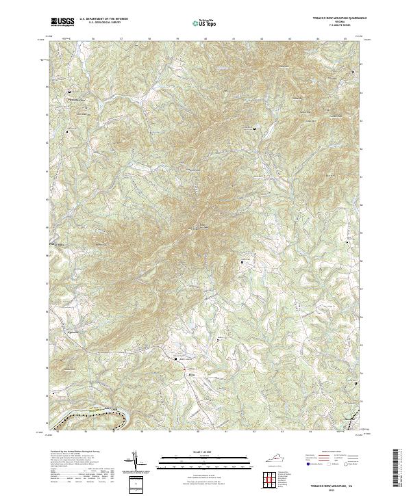
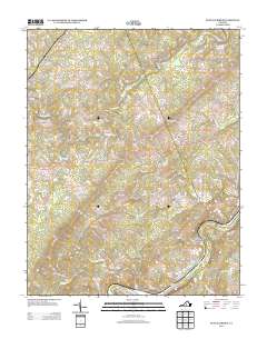
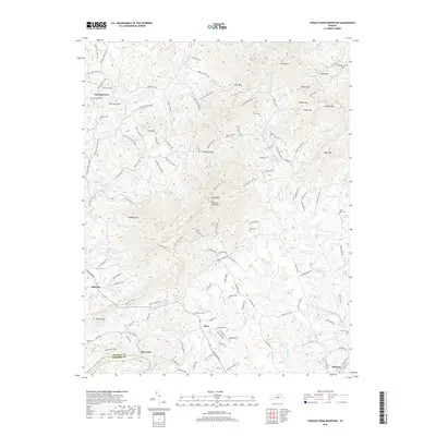
2022 Map of Tobacco Row Mountain
USGS Topo · Published 2022About this map
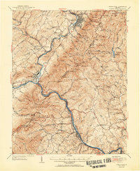
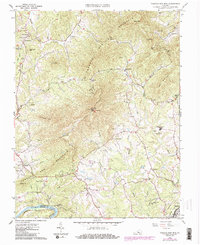
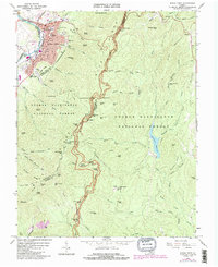
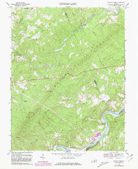
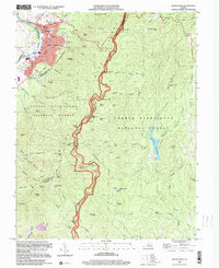
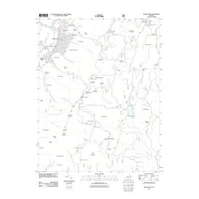
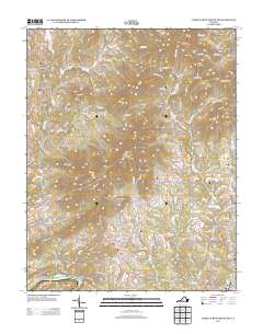
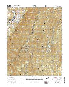
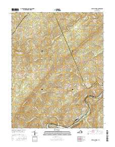
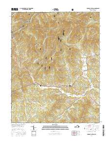
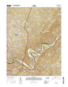
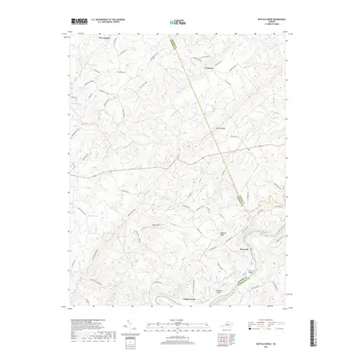
Tobacco Row Mtn and High Peak dominate this central Virginia landscape, where the ridges of the Blue Ridge foothills descend toward the James River. The 2022 survey reveals a settlement pattern of small communities like Elon, Agricola, and Pleasant View connected by winding mountain roads such as Buffalo Spring Tpke and Wagon Trail Rd. Along the southern border, the James River marks the boundary between Amherst Co and Bedford Co near Salt Creek. For family historians, the map is a dense record of rural heritage, pinpointing numerous family burial grounds including Watts Cem, Burford Cem, and the Hicks Morris Peters Cem. These landmarks, alongside features like Pedlar Mills and Buffalo Spur, reflect a long-standing agricultural and milling economy shaped by watercourses such as Harris Cr and Puppy Cr.
Find a feature on this map
130 named features on this map. Tap any name to fly to it.
Don’t see what you’re looking for? This feature index may not catch every label — zoom into the map to look around manually.
Map Details
Editions of this 2022 Tobacco Row Mountain Map
This is the sole edition of this map. No revisions or reprints were ever made.
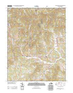
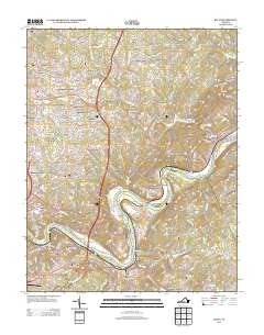
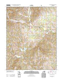
Historical Maps of Monroe Through Time
44 maps found
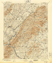
1894 Buena Vista
Amherst County, VA

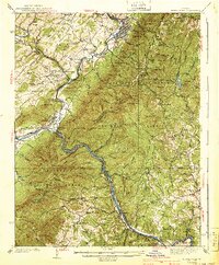
1935 Buena Vista
Amherst County, VA

1939 Buena Vista
Amherst County, VA
1940 Buena Vista
Amherst County, VA
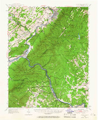
1950 Buena Vista
Amherst County, VA
1952 Buena Vista
Amherst County, VA
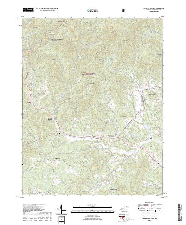
1963 Forks of Buffalo
Amherst County, VA
1963 Kelly
Amherst County, VA
1963 Piney River
Amherst County, VA
1963 Tobacco Row Mtn
Amherst County, VA
1965 Buena Vista
Amherst County, VA
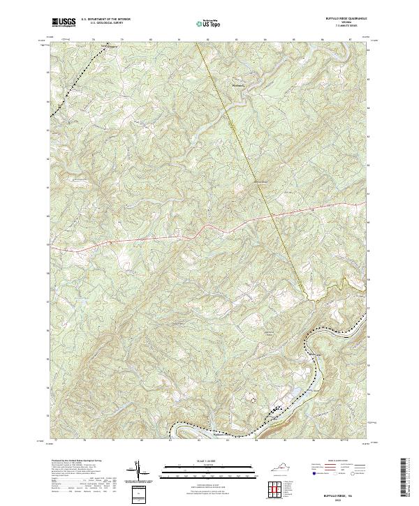
1969 Buffalo Ridge
Amherst County, VA
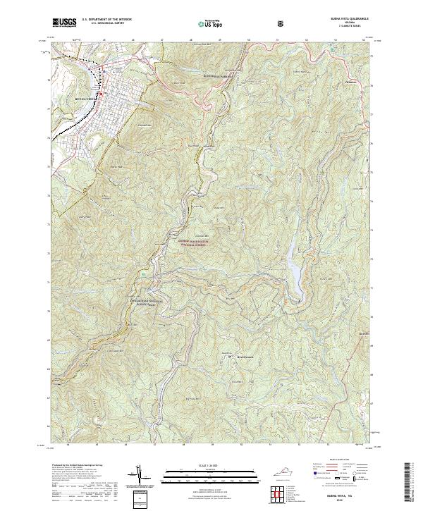
1977 Buena Vista
Amherst County, VA
1999 Buena Vista
Amherst County, VA
2010 Buffalo Ridge
Amherst County, VA
2010 Kelly
Amherst County, VA
2010 Tobacco Row Mountain
Amherst County, VA
2011 Buena Vista
Amherst County, VA
2011 Forks of Buffalo
Amherst County, VA
2011 Piney River
Amherst County, VA
2013 Buena Vista
Amherst County, VA
2013 Buffalo Ridge
Amherst County, VA
2013 Forks of Buffalo
Amherst County, VA
2013 Kelly
Amherst County, VA
2013 Piney River
Amherst County, VA
2013 Tobacco Row Mountain
Amherst County, VA
2016 Buena Vista
Amherst County, VA
2016 Buffalo Ridge
Amherst County, VA
2016 Forks of Buffalo
Amherst County, VA
2016 Kelly
Amherst County, VA
2016 Piney River
Amherst County, VA
2016 Tobacco Row Mountain
Amherst County, VA
2019 Buena Vista
Amherst County, VA
2019 Buffalo Ridge
Amherst County, VA
2019 Forks of Buffalo
Amherst County, VA
2019 Kelly
Amherst County, VA
2019 Piney River
Amherst County, VA
2019 Tobacco Row Mountain
Amherst County, VA
2022 Buena Vista
Amherst County, VA
2022 Buffalo Ridge
Amherst County, VA
2022 Forks of Buffalo
Amherst County, VA
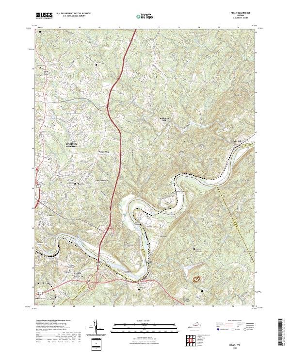
2022 Kelly
Amherst County, VA
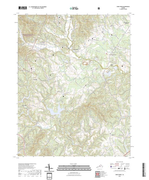
2022 Piney River
Amherst County, VA
2022 Tobacco Row Mountain
Amherst County, VA