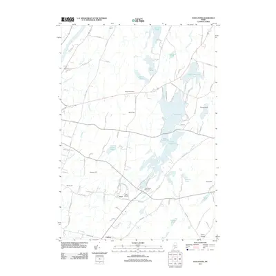
2011 Map of Togus Pond
USGS Topo · Published 2011About this map
The Togus National Cemetery and the settlement of Togus anchor the southern portion of this landscape, situated just east of the Kennebec River. This area is defined by a complex network of glacial ponds and drainages, where Togus Pond and Threecornered Pond dominate the central terrain. The map records the intersection of local history and topography, from the heights of Bolton Hill to the lower reaches of Togus Stream. Small settlements like Chelsea and Keyes Corner are mapped alongside numerous rural roads such as Weeks Mills Rd and Hatch Hill Rd. The inclusion of the Lower Togus Pond Dam and the Bolton Hill Cemetery provides valuable detail for those researching the land use and genealogy of this part of Kennebec County.
Find a feature on this map
97 named features on this map. Tap any name to fly to it.
Don’t see what you’re looking for? This feature index may not catch every label — zoom into the map to look around manually.
Map Details
Editions of this 2011 Togus Pond Map
This is the sole edition of this map. No revisions or reprints were ever made.
Other maps of this area

1892 · Gardiner
USGS Topo · 1:62,500

1892 · Augusta
USGS Topo · 1:62,500

1893 · Vassalboro
USGS Topo · 1:62,500

1893 · Wiscasset
USGS Topo · 1:62,500

1898 · Vassalboro
USGS Topo · 1:62,500

1941 · Vassalboro
USGS Topo · 1:62,500

1941 · Augusta
USGS Topo · 1:62,500

1943 · Augusta
USGS Topo · 1:62,500

1943 · Gardiner
USGS Topo · 1:62,500

1943 · Vassalboro
USGS Topo · 1:62,500