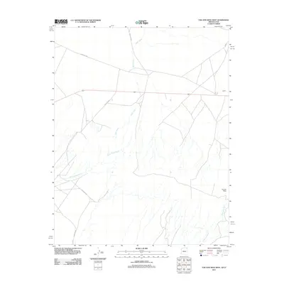
2011 Map of Toh Atin Mesa West
USGS Topo · Published 2011About this map
The arid drainage networks of the Shiprock Agency are defined by ephemeral watercourses like Gothic Creek, which carves through the landscape alongside Willow Spring Wash. This 2011 survey reveals a territory where transportation is guided by the local road system, including Indian Rte 5089 and Indian Rte 5058, connecting this high desert terrain to the wider region via Route 160. The most prominent landform is Toh Atin Mesa, a broad plateau that overlooks the confluence of several seasonal washes, including Sweetwater Wash. The pattern of Indian Routes such as Indian Rte 5845 and Indian Rte 5045 suggests a landscape of decentralized residency and traditional land use, where movement follows the natural contours of the mesas and creek beds.
Find a feature on this map
9 named features on this map. Tap any name to fly to it.
Don’t see what you’re looking for? This feature index may not catch every label — zoom into the map to look around manually.
Map Details
Editions of this 2011 Toh Atin Mesa West Map
2 editions found
Other maps of this area

1886 · Abajo
USGS Topo · 1:250,000

1892 · Abajo
USGS Topo · 1:250,000

1892 · Canyon De Chelly
USGS Topo · 1:250,000

1893 · Abajo
USGS Topo · 1:250,000

1953 · Dinne Mesa NW
USGS Topo · 1:24,000

1953 · Dinne Mesa NE
USGS Topo · 1:24,000

1953 · Dinne Mesa SW
USGS Topo · 1:24,000

1953 · Dinne Mesa SE
USGS Topo · 1:24,000

1953 · Toh-Atin Mesa
USGS Topo · 1:62,500

1954 · Shiprock
USGS Topo · 1:250,000