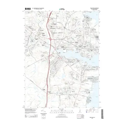
2014 Map of Toms River
USGS Topo · Published 2014About this map
Toms River serves as the focal point of this coastal New Jersey landscape, winding past numerous residential developments toward Barnegat Bay. The mid-2010s geography is defined by a dense network of suburban estates and manors, including Manitou Park, Wintringham Park, and Gilford Park, which showcase the region's late-century residential growth. The transportation corridor of the Garden State Pky and Us-9 bisects the region, connecting the waterfront communities with the inland pine forests. To the south, the terrain transitions into the more open, wetland-rich areas surrounding Jakes Br and Wrangel Brook, where the Central Water Pollution Control Facility marks a significant piece of local infrastructure. Historical continuity is preserved at sites like Saint Joseph Cem and Riverside Cem, while many named developments like Island Beach Heights and Cedar Grove occupy the land between the river and the bay.
Find a feature on this map
70 named features on this map. Tap any name to fly to it.
Don’t see what you’re looking for? This feature index may not catch every label — zoom into the map to look around manually.
Map Details
Editions of this 2014 Toms River Map
This is the sole edition of this map. No revisions or reprints were ever made.
Other maps of this area

1884 · Whitings
USGS Topo · 1:62,500

1888 · Barnegat
USGS Topo · 1:62,500

1888 · Asbury Park
USGS Topo · 1:62,500

1888 · Cassville
USGS Topo · 1:62,500

1888 · Whitings
USGS Topo · 1:62,500

1893 · Asbury Park
USGS Topo · 1:62,500

1893 · Barnegat
USGS Topo · 1:62,500

1894 · Cassville
USGS Topo · 1:62,500

1898 · Barnegat
USGS Topo · 1:62,500

1900 · Cassville
USGS Topo · 1:62,500