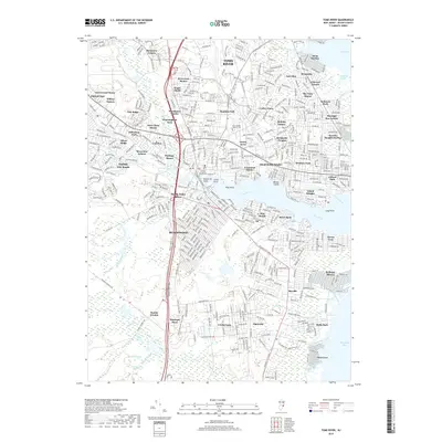
2019 Map of Toms River
USGS Topo · Published 2019About this map
The Toms River estuary dominates this coastal landscape, serving as a focal point for the numerous established residential developments and maritime communities along its banks. Along the northern shore, the township of Toms River and its varied neighborhoods, including Manitou Park and Cedar Grove, give way to the prominent peninsula of Island Heights. To the south, the borough of Beachwood and South Toms River are positioned along the Garden State Pkwy, showcasing the mid-century suburban expansion that defined this portion of Ocean County.
Find a feature on this map
76 named features on this map. Tap any name to fly to it.
Don’t see what you’re looking for? This feature index may not catch every label — zoom into the map to look around manually.
Map Details
Editions of this 2019 Toms River Map
This is the sole edition of this map. No revisions or reprints were ever made.
Other maps of this area

1884 · Whitings
USGS Topo · 1:62,500

1888 · Barnegat
USGS Topo · 1:62,500

1888 · Asbury Park
USGS Topo · 1:62,500

1888 · Cassville
USGS Topo · 1:62,500

1888 · Whitings
USGS Topo · 1:62,500

1893 · Asbury Park
USGS Topo · 1:62,500

1893 · Barnegat
USGS Topo · 1:62,500

1894 · Cassville
USGS Topo · 1:62,500

1898 · Barnegat
USGS Topo · 1:62,500

1900 · Cassville
USGS Topo · 1:62,500