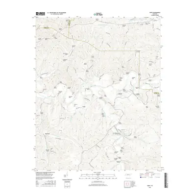
2016 Map of Topsy
USGS Topo · Published 2016About this map
Buffalo River winds through the heart of this landscape, carving distinctive features like Grinder Bluff and Squeeze Up Bluff while defining the river bends at Johnson Bend and Bachelor Bend. The area is characterized by a dense network of hollows, many carrying family names such as John Thorpe Hollow, Babe Thorpe Hollow, and Pritchett Hollow. These landforms suggest a legacy of rural subsistence and localized settlements typical of the Tennessee Highland Rim.
Find a feature on this map
138 named features on this map. Tap any name to fly to it.
Don’t see what you’re looking for? This feature index may not catch every label — zoom into the map to look around manually.
Map Details
Editions of this 2016 Topsy Map
This is the sole edition of this map. No revisions or reprints were ever made.
Other maps of this area

1905 · Waynesboro
USGS Topo · 1:125,000

1936 · Riverside
USGS Topo · 1:24,000

1936 · Graves Spring
USGS Topo · 1:24,000

1936 · Linden
USGS Topo · 1:24,000

1936 · Leatherwood
USGS Topo · 1:24,000

1936 · Negro Hollow
USGS Topo · 1:24,000

1936 · Kimmins
USGS Topo · 1:24,000

1936 · Waynesboro
USGS Topo · 1:24,000

1936 · Topsy
USGS Topo · 1:24,000

1936 · Ovilla
USGS Topo · 1:24,000