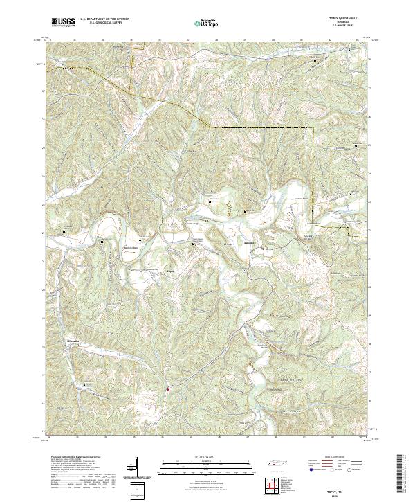
2022 Map of Topsy
USGS Topo · Published 2022About this map
Topsy and the surrounding hollows of Wayne County sit at a complex intersection of the Buffalo River and Fortyeight Creek in this 2022 survey. The landscape is defined by its numerous family-named landmarks and historical burial grounds, including the Salem Baptist Church Cem, Hollabaugh Cem, and Skelton Cem. These sites, along with the settlement at Ashland, suggest a long-established pattern of small-scale agriculture and community life nestled within the sharp bends of the river, such as Bachelor Bend and the high vantage of Grinder Bluff.
Find a feature on this map
145 named features on this map. Tap any name to fly to it.
Don’t see what you’re looking for? This feature index may not catch every label — zoom into the map to look around manually.
Map Details
Editions of this 2022 Topsy Map
This is the sole edition of this map. No revisions or reprints were ever made.
Other maps of this area

1905 · Waynesboro
USGS Topo · 1:125,000

1936 · Riverside
USGS Topo · 1:24,000

1936 · Graves Spring
USGS Topo · 1:24,000

1936 · Linden
USGS Topo · 1:24,000

1936 · Leatherwood
USGS Topo · 1:24,000

1936 · Negro Hollow
USGS Topo · 1:24,000

1936 · Kimmins
USGS Topo · 1:24,000

1936 · Waynesboro
USGS Topo · 1:24,000

1936 · Topsy
USGS Topo · 1:24,000

1936 · Ovilla
USGS Topo · 1:24,000