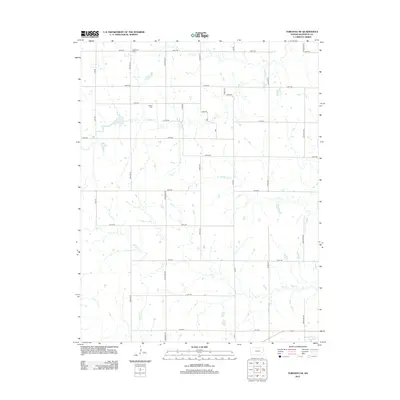
2012 Map of Toronto NE
USGS Topo · Published 2012About this map
Nickletown Cem and Askren Cem sit within a rural landscape defined by a grid of named roads including Hereford Rd and Indian Rd. This Woodson County landscape is drained by a network of waterways including Turkey Cr, N Owl Cr, and Owl Cr, which meander through open fields and wooded corridors. The southern portion of the area includes the Yates Center Reservoir, a significant water feature that anchors the local topography. This 2012 survey documents the persistent rural character of eastern Kansas, where local history is preserved in small family and community cemeteries. The township road system, with distinctive names like Grouse Rd and Longhorn Rd, provides a precise framework for locating ancestral homesteads and property boundaries from this era.
Find a feature on this map
31 named features on this map. Tap any name to fly to it.
Don’t see what you’re looking for? This feature index may not catch every label — zoom into the map to look around manually.
Map Details
Editions of this 2012 Toronto NE Map
This is the sole edition of this map. No revisions or reprints were ever made.
Other maps of this area

1885 · Burlington
USGS Topo · 1:125,000

1886 · Fredonia
USGS Topo · 1:125,000

1894 · Fredonia
USGS Topo · 1:125,000

1894 · Burlington
USGS Topo · 1:125,000

1947 · Lawrence
USGS Topo · 1:250,000

1947 · Joplin
USGS Topo · 1:250,000

1949 · Joplin
USGS Topo · 1:250,000

1950 · Lawrence
USGS Topo · 1:250,000

1954 · Joplin
USGS Topo · 1:250,000

1956 · Lawrence
USGS Topo · 1:250,000