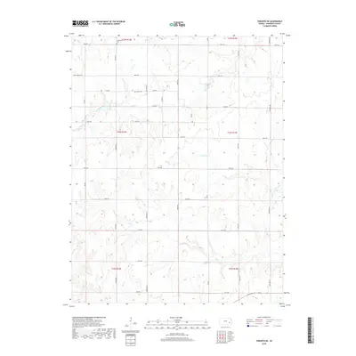
2018 Map of Toronto NE
USGS Topo · Published 2018About this map
Turkey Creek and its smaller tributaries carve through the sectioned plains of Woodson County, revealing a landscape defined by the Public Land Survey System. This 2018 survey illustrates the persistent grid of rural Kansas, where roads like 190th Rd and 180th Rd trace the edges of section lines established generations ago. For those tracing family histories or early settlement patterns, the map preserves the location of two rural burial grounds: Nickletown Cem in the north and Askren Cem further south near 175th Rd. These sites, along with the meandering paths of N Owl Cr and Sandy Cr, provide a contemporary look at a deeply traditional agricultural region where the drainage patterns of the Flint Hills fringe still dictate the placement of farms and crossings.
Find a feature on this map
25 named features on this map. Tap any name to fly to it.
Don’t see what you’re looking for? This feature index may not catch every label — zoom into the map to look around manually.
Map Details
Editions of this 2018 Toronto NE Map
This is the sole edition of this map. No revisions or reprints were ever made.
Other maps of this area

1885 · Burlington
USGS Topo · 1:125,000

1886 · Fredonia
USGS Topo · 1:125,000

1894 · Fredonia
USGS Topo · 1:125,000

1894 · Burlington
USGS Topo · 1:125,000

1947 · Lawrence
USGS Topo · 1:250,000

1947 · Joplin
USGS Topo · 1:250,000

1949 · Joplin
USGS Topo · 1:250,000

1950 · Lawrence
USGS Topo · 1:250,000

1954 · Joplin
USGS Topo · 1:250,000

1956 · Lawrence
USGS Topo · 1:250,000