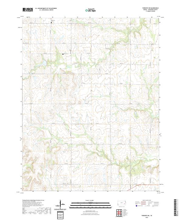
2022 Map of Toronto NE
USGS Topo · Published 2022About this map
Nikkeltown Cem and Askren Cem stand as quiet landmarks within this rural section of Woodson County, marking the long-established burial grounds of early prairie families. The landscape is defined by the dendritic drainage patterns of Turkey Creek in the north and several branches of Owl Cr and Sandy Cr further south. These waterways carve through the Kansas terrain, dictated by the underlying topography and a grid of local section roads such as Longhorn Rd and Virgil Vernon Rd. The layout reflects the traditional Public Land Survey System, with township and range lines like t24s r14e organizing the agricultural expanse. The lack of major urban development highlights a persistent rural character where land use is still primarily divided by these historic boundaries and narrow creek valleys.
Find a feature on this map
34 named features on this map. Tap any name to fly to it.
Don’t see what you’re looking for? This feature index may not catch every label — zoom into the map to look around manually.
Map Details
Editions of this 2022 Toronto NE Map
This is the sole edition of this map. No revisions or reprints were ever made.
Other maps of this area

1885 · Burlington
USGS Topo · 1:125,000

1886 · Fredonia
USGS Topo · 1:125,000

1894 · Fredonia
USGS Topo · 1:125,000

1894 · Burlington
USGS Topo · 1:125,000

1947 · Lawrence
USGS Topo · 1:250,000

1947 · Joplin
USGS Topo · 1:250,000

1949 · Joplin
USGS Topo · 1:250,000

1950 · Lawrence
USGS Topo · 1:250,000

1954 · Joplin
USGS Topo · 1:250,000

1956 · Lawrence
USGS Topo · 1:250,000