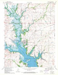
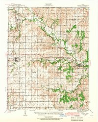
1969 Map of Toronto
USGS Topo · Published 1971About this map
The Verdigris River valley dominates this Woodson County landscape, showing the transformation of the terrain following the creation of the Toronto Reservoir. The town of Toronto remains a central hub, flanked by the Missouri Pacific Railroad and a network of quarries. To the south, an Indian Treaty Boundary cuts across the water near Duck Island, a detail that highlights the historical layers of land division in this part of Kansas.
Find a feature on this map
33 named features on this map. Tap any name to fly to it.
Don’t see what you’re looking for? This feature index may not catch every label — zoom into the map to look around manually.
Map Details
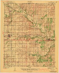
Editions of this 1969 Toronto Map
This is the sole edition of this map. No revisions or reprints were ever made.
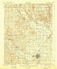
Other maps of this area

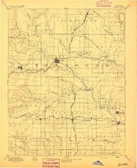
1885 · Eureka
USGS Topo · 1:125,000

1886 · Fredonia
USGS Topo · 1:125,000

1888 · Eureka
USGS Topo · 1:125,000

1894 · Fredonia
USGS Topo · 1:125,000
1894 · Eureka
USGS Topo · 1:125,000
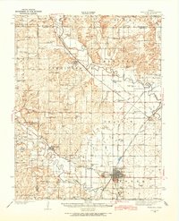
1938 · Fredonia
USGS Topo · 1:62,500
1939 · Fredonia
USGS Topo · 1:48,000
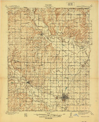
1939 · Severy
USGS Topo · 1:62,500
1941 · Severy
USGS Topo · 1:62,500
1942 · Fredonia
USGS Topo · 1:62,500