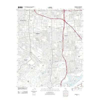
2012 Map of Torrance
USGS Topo · Published 2012About this map
The dense suburban and industrial corridor of the South Bay is centered here in Torrance and Carson, revealing a landscape defined by transportation and utility. The area is anchored by major aviation hubs like Zamperini Field Airport and the Goodyear Blimp Base Airport, while the southern edge meets the northern reaches of the Port of Los Angeles at Mormon Island and the Catalina Terminal. The transition from the flat plains of the Dominguez Channel to the rising elevations of the Palos Verdes Peninsula is marked by the South Coast Botanic Garden and the steep terrain of Agua Negra Canyon.
Find a feature on this map
85 named features on this map. Tap any name to fly to it.
Don’t see what you’re looking for? This feature index may not catch every label — zoom into the map to look around manually.
Map Details
Editions of this 2012 Torrance Map
This is the sole edition of this map. No revisions or reprints were ever made.
Other maps of this area

1896 · Redondo
USGS Topo · 1:62,500

1896 · Las Bolsas
USGS Topo · 1:62,500

1896 · San Pedro
USGS Topo · 1:62,500

1896 · Downey
USGS Topo · 1:62,500

1899 · Downey
USGS Topo · 1:62,500

1901 · Southern California Sheet No. 1
USGS Topo · 1:250,000

1902 · Downey
USGS Topo · 1:62,500

1904 · Southern California Sheet No. 1
USGS Topo · 1:250,000

1923 · Wilmington
USGS Topo · 1:24,000

1924 · Torrance
USGS Topo · 1:24,000