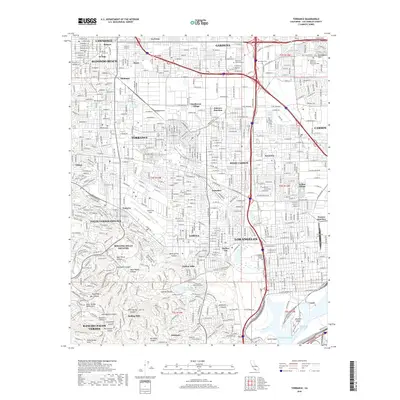
2018 Map of Torrance
USGS Topo · Published 2018About this map
Torrance and its surrounding South Bay communities are defined by a dense residential and industrial grid that gives way to the rising elevations of the Palos Verdes Peninsula. In the northern half, established neighborhoods like Lawndale, Gardena, and Redondo Beach form a continuous urban landscape, punctuated by local landmarks such as Zamperini Field and the California State University Dominguez Hills campus. The southern portion of the map reveals the dramatic geography of the Palos Verdes Hills, where steep canyons like Sepulveda Canyon and Agua Negra Canyon cut through the terrain.
Find a feature on this map
70 named features on this map. Tap any name to fly to it.
Don’t see what you’re looking for? This feature index may not catch every label — zoom into the map to look around manually.
Map Details
Editions of this 2018 Torrance Map
This is the sole edition of this map. No revisions or reprints were ever made.
Other maps of this area

1896 · Redondo
USGS Topo · 1:62,500

1896 · Las Bolsas
USGS Topo · 1:62,500

1896 · San Pedro
USGS Topo · 1:62,500

1896 · Downey
USGS Topo · 1:62,500

1899 · Downey
USGS Topo · 1:62,500

1901 · Southern California Sheet No. 1
USGS Topo · 1:250,000

1902 · Downey
USGS Topo · 1:62,500

1904 · Southern California Sheet No. 1
USGS Topo · 1:250,000

1923 · Wilmington
USGS Topo · 1:24,000

1924 · Torrance
USGS Topo · 1:24,000