2023 Map of Torrance
USGS Topo · Published 2023About this map
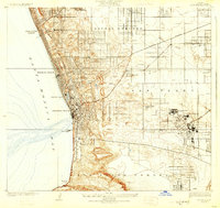
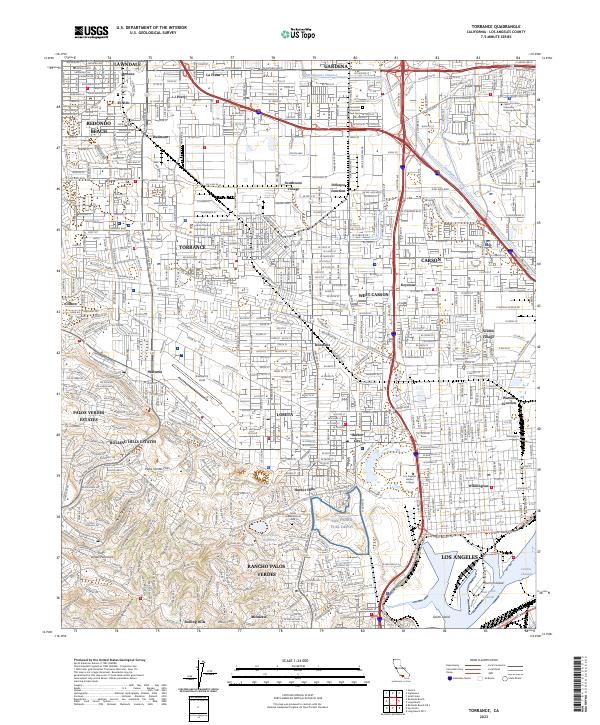
Torrance and its neighbors appear as a dense urban grid in this contemporary survey, where industrial zones and aviation history meet the rising terrain of the Palos Verdes Hills. The landscape is dominated by significant infrastructure and institutional landmarks, including the sprawling California State University Dominguez Hills near the Dominguez Hills and the municipal Zamperini Field airport. To the south, the map details the transition into the maritime and industrial corridors near Wilmington, featuring the San Pedro Fuel Depot and the Los Angeles Harbor College. Historic burial grounds like Roosevelt Memorial Park Cem and Green Hills Memorial Park provide genealogical landmarks amidst the residential sprawl of Lomita and West Carson. The northern portion tracks the Dominguez Channel as it cuts through established neighborhoods like Gardena and Lawndale.
Find a feature on this map
76 named features on this map. Tap any name to fly to it.
Don’t see what you’re looking for? This feature index may not catch every label — zoom into the map to look around manually.
Map Details
Editions of this 2023 Torrance Map
This is the sole edition of this map. No revisions or reprints were ever made.
Historical Maps of Palos Verdes Estates Through Time
5 maps found