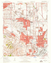
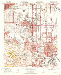
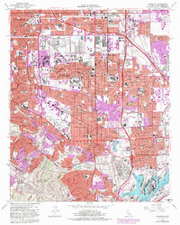
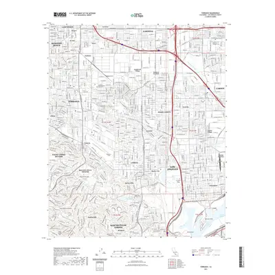
1951 Map of Torrance
USGS Topo · Published 1959About this map
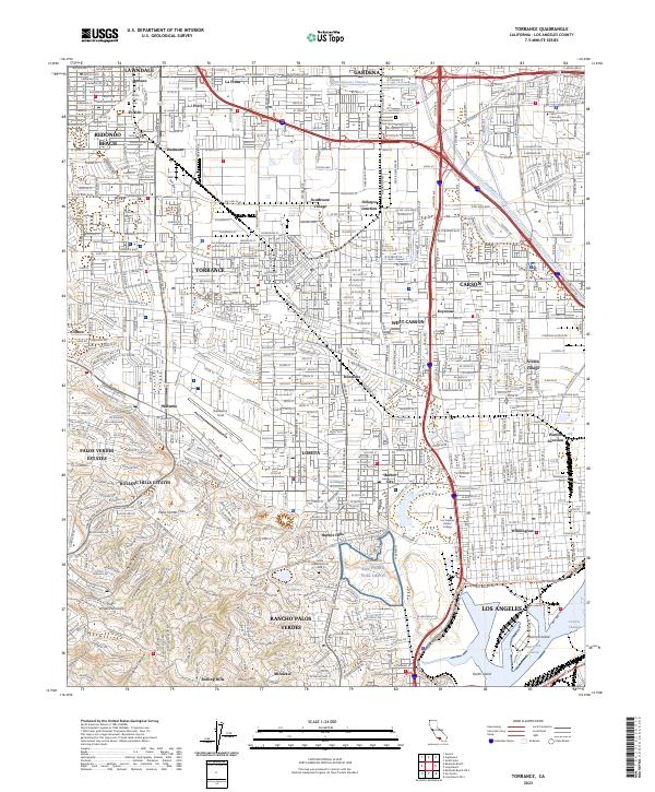
Industrial expansion and residential growth define the South Bay landscape in the mid-century, where the city of Torrance serves as a central hub. The map reveals a complex infrastructure of transport and production, dominated by a massive Steel Mill and extensive rail lines including the Atchison Topeka and Santa Fe and Pacific Electric. To the south, the terrain rises sharply into the Harbor Hills and the residential clusters of Rolling Hills and Miraleste, while the lowlands near Bixby Slough and Laguna Dominguez indicate the natural drainage patterns before further urban infill.
Find a feature on this map
91 named features on this map. Tap any name to fly to it.
Don’t see what you’re looking for? This feature index may not catch every label — zoom into the map to look around manually.
Map Details
Editions of this 1951 Torrance Map
2 editions found
Historical Maps of Los Angeles Through Time
9 maps found
1924 Torrance
Los Angeles County, CA
1934 Torrance
Los Angeles County, CA
1951 Torrance
Los Angeles County, CA
1964 Torrance
Los Angeles County, CA
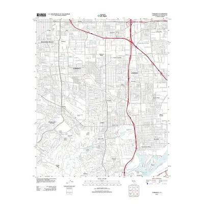
2012 Torrance
Los Angeles County, CA
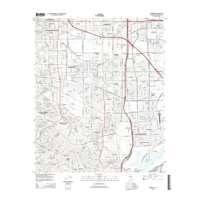
2015 Torrance
Los Angeles County, CA
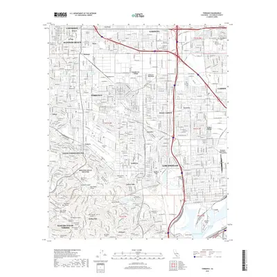
2018 Torrance
Los Angeles County, CA
2021 Torrance
Los Angeles County, CA
2023 Torrance
Los Angeles County, CA