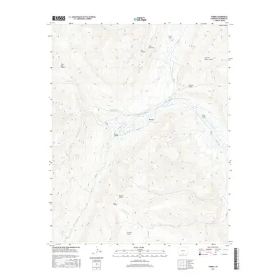
2016 Map of Torres
USGS Topo · Published 2016About this map
The settlement of Torres serves as a central point in this landscape of high-altitude canyons and complex water management. Irrigation infrastructure is prominent throughout the valley, evidenced by features like the Maxwell Ditch Number 19 and 20, Cornell Ditch, and Consolidated Ditch, which redirect water from the S Fork Purgatoire River. These ditches trace the contours of the land, supporting local ranching and agriculture beneath the distinctive geologic formation known as The Stonewall.
Find a feature on this map
34 named features on this map. Tap any name to fly to it.
Don’t see what you’re looking for? This feature index may not catch every label — zoom into the map to look around manually.
Map Details
Editions of this 2016 Torres Map
This is the sole edition of this map. No revisions or reprints were ever made.
Other maps of this area

1891 · Spanish Peaks
USGS Topo · 1:125,000

1893 · Spanish Peaks
USGS Topo · 1:125,000

1895 · Spanish Peaks
USGS Topo · 1:125,000

1897 · Spanish Peaks
USGS Topo · 1:125,000

1900 · Spanish Peaks
USGS Topo · 1:125,000

1954 · Raton
USGS Topo · 1:250,000

1954 · Trinidad
USGS Topo · 1:250,000

1955 · Trinidad
USGS Topo · 1:250,000

1958 · Raton
USGS Topo · 1:250,000

1958 · Trinidad
USGS Topo · 1:250,000