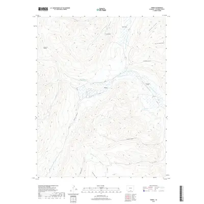
2019 Map of Torres
USGS Topo · Published 2019About this map
The S Fork Purgatoire River and its complex system of irrigation waterways define the central valley of this Las Animas County landscape. A network of essential water infrastructure, including the Consolidated Ditch, Cornell Ditch, and Torres Ditch, reflects the engineering required to sustain life and agriculture in this high-altitude terrain. Near the settlement of Torres, the valley opens into the South Valley, flanked by prominent geological features like The Stonewall and the expansive Forty Acre Meadow. For genealogists and local historians, the presence of the Tercio Cem and the Tercio Ranch Airstrip provides clear evidence of the area's social and economic foundations. The map further documents the drainage patterns of the Canadian River and the N Fork Vermejo River, which carve deep paths through named landforms such as Bonito Canyon and Fivemile Canyon.
Find a feature on this map
33 named features on this map. Tap any name to fly to it.
Don’t see what you’re looking for? This feature index may not catch every label — zoom into the map to look around manually.
Map Details
Editions of this 2019 Torres Map
This is the sole edition of this map. No revisions or reprints were ever made.
Other maps of this area
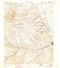
1891 · Spanish Peaks
USGS Topo · 1:125,000
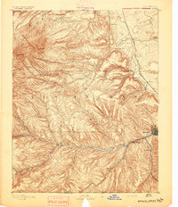
1893 · Spanish Peaks
USGS Topo · 1:125,000
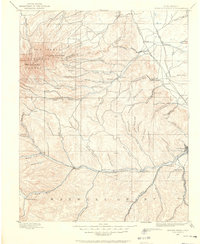
1895 · Spanish Peaks
USGS Topo · 1:125,000
1897 · Spanish Peaks
USGS Topo · 1:125,000
1900 · Spanish Peaks
USGS Topo · 1:125,000
1954 · Raton
USGS Topo · 1:250,000

1954 · Trinidad
USGS Topo · 1:250,000

1955 · Trinidad
USGS Topo · 1:250,000
1958 · Raton
USGS Topo · 1:250,000

1958 · Trinidad
USGS Topo · 1:250,000