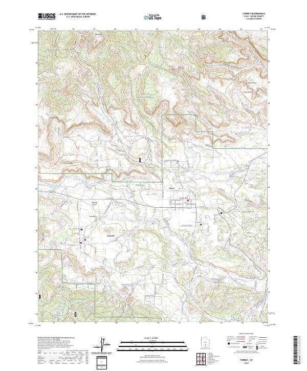
2023 Map of Torrey
USGS Topo · Published 2023About this map
The Fremont River winds through this high-plateau landscape, supporting the established communities of Torrey and Teasdale. This modern survey reveals a complex network of water management and irrigation, including the Torrey Canal and Coleman Reservoir, which are vital in this arid environment between the Fishlake National Forest and Dixie National Forest. The map detail shows the precise layout of local streets such as W Main St and E Cougar Ridge Rd, alongside essential local history sites like the Teasdale Cem and Torrey Cem.
Find a feature on this map
58 named features on this map. Tap any name to fly to it.
Don’t see what you’re looking for? This feature index may not catch every label — zoom into the map to look around manually.
Map Details
Editions of this 2023 Torrey Map
This is the sole edition of this map. No revisions or reprints were ever made.
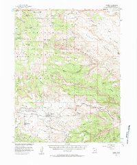
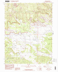
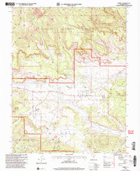
Historical Maps of Torrey Through Time
4 maps found