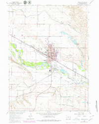
1990 Map of Torrington
USGS Topo · Published 1995About this map
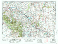
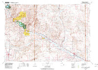
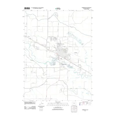
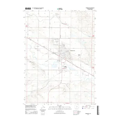
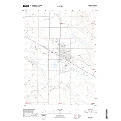
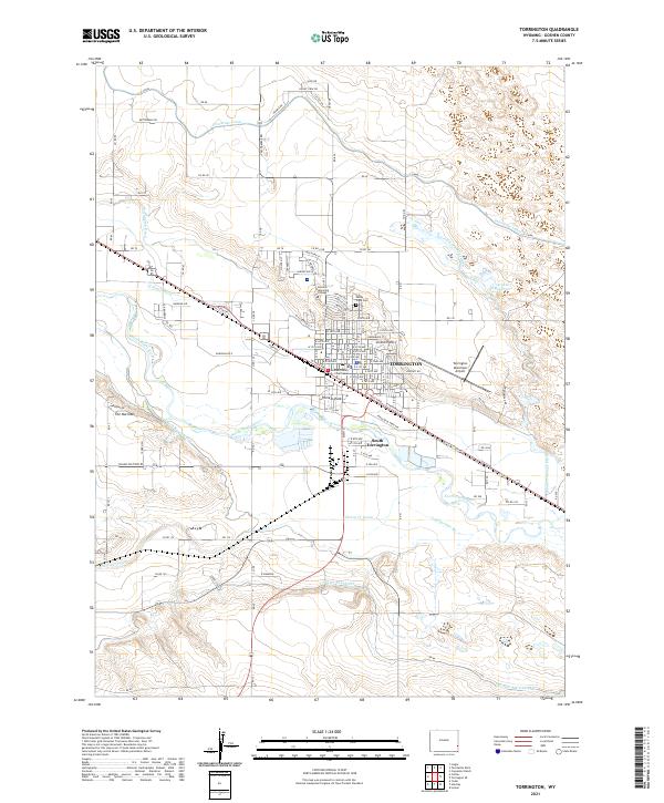
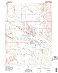
Torrington is documented here as a significant regional hub along the North Platte River, defined by its complex irrigation network and historical transport corridors. The map details the transition from the old Emigrant Trail to modern infrastructure like the Torrington Municipal Airport. Large-scale water management is a central theme, with the Interstate Canal, Torrington Ditch, and Arnold Ditch carving through the landscape to support the surrounding agricultural valley.
Find a feature on this map
31 named features on this map. Tap any name to fly to it.
Don’t see what you’re looking for? This feature index may not catch every label — zoom into the map to look around manually.
Map Details
Editions of this 1990 Torrington Map
This is the sole edition of this map. No revisions or reprints were ever made.
Historical Maps of Torrington Through Time
9 maps found