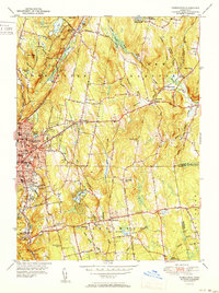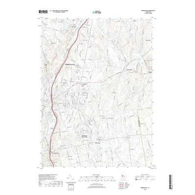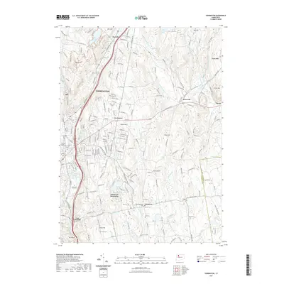
1948 Map of Torrington
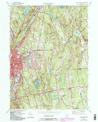
USGS Topo · Published 1955About this map
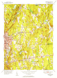
The industrial and residential center of Torrington anchor the western edge of this 1948 survey, where the Naugatuck River and the New York New Haven and Hartford railroad line shaped the town's early growth. This mid-century landscape shows a community transitioning from its agricultural roots to a modern manufacturing hub, featuring landmarks like the Armory and various municipal services such as the Sewage Disposal plant. To the north, the sprawling Paugnut State Forest and Burr Pond provide a stark contrast to the urban grid.
Find a feature on this map
71 named features on this map. Tap any name to fly to it.
Don’t see what you’re looking for? This feature index may not catch every label — zoom into the map to look around manually.
Map Details
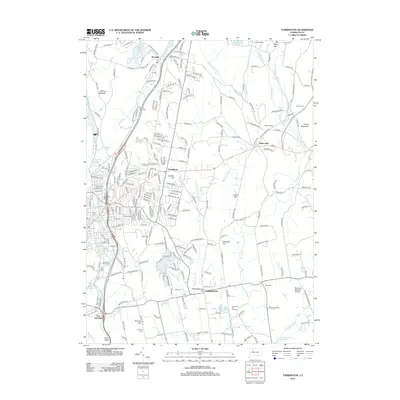
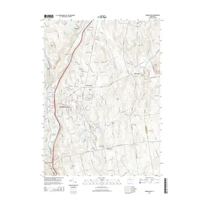
Editions of this 1948 Torrington Map
This is the sole edition of this map. No revisions or reprints were ever made.
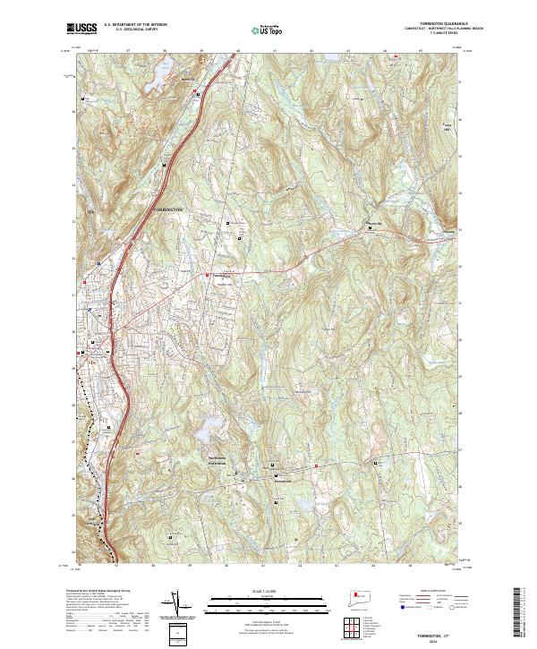
Historical Maps of Torrington Through Time
8 maps found