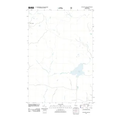
2011 Map of Totagatic Lake
USGS Topo · Published 2011About this map
Totagatic Lake and the winding course of the Totagatic River define this Northwoods landscape in Bayfield County. The terrain is characterized by a dense network of hydrologic features, including the Ounce River and Otter Creek, which weave through the northern reaches. Significant elevation is found at Smoky Hill, where the Smoky Hill Fire Tower stands as a primary landmark for forest observation. The southern portion of the quadrangle shows a transition toward more defined access roads, such as W Seeley Fire Ln and N Sabin Rd, which provide passage near Sabin Lake. This survey captures a remote region primarily managed for timber and water resources, with few permanent structures beyond the fire lookout and isolated rural routes like Tagalder Trl and Ole Lake Rd.
Find a feature on this map
22 named features on this map. Tap any name to fly to it.
Don’t see what you’re looking for? This feature index may not catch every label — zoom into the map to look around manually.
Map Details
Editions of this 2011 Totagatic Lake Map
This is the sole edition of this map. No revisions or reprints were ever made.
Other maps of this area

1944 · Drummond
USGS Topo · 1:48,000

1944 · Hayward
USGS Topo · 1:48,000

1945 · Highland
USGS Topo · 1:48,000

1947 · Drummond
USGS Topo · 1:48,000

1947 · Chittamo
USGS Topo · 1:48,000

1949 · Chittamo
USGS Topo · 1:48,000

1949 · Highland
USGS Topo · 1:48,000

1953 · Ashland
USGS Topo · 1:250,000

1958 · Ashland
USGS Topo · 1:250,000
1961 · Ellison Lake
USGS Topo · 1:62,500