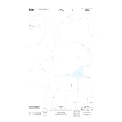
2013 Map of Totagatic Lake
USGS Topo · Published 2013About this map
Totagatic Lake and the surrounding wetlands of northern Wisconsin define this 2013 topographic landscape. The map details a complex network of waterways, including the winding Totagatic River, Hills Mill Cr, and the W Fork Totagatic River, which flow through a region marked by sparse roads and significant elevation at Smoky Hill. This landmark features the Smoky Hill Fire Tower, a critical point for forest management in the area. Local access is primarily through forest roads such as Totagatic Rd and Ole Lake Rd, which serve the small lakes and creeks. Smaller water bodies like Sabin Lake and Dawn Lake are situated near the headwaters of the Tag-Alder Cr and the Ounce River, illustrating the high-density hydrology of the Bayfield County backcountry during the early 21st century.
Find a feature on this map
21 named features on this map. Tap any name to fly to it.
Don’t see what you’re looking for? This feature index may not catch every label — zoom into the map to look around manually.
Map Details
Editions of this 2013 Totagatic Lake Map
This is the sole edition of this map. No revisions or reprints were ever made.
Other maps of this area

1944 · Drummond
USGS Topo · 1:48,000

1944 · Hayward
USGS Topo · 1:48,000

1945 · Highland
USGS Topo · 1:48,000

1947 · Drummond
USGS Topo · 1:48,000

1947 · Chittamo
USGS Topo · 1:48,000

1949 · Chittamo
USGS Topo · 1:48,000

1949 · Highland
USGS Topo · 1:48,000

1953 · Ashland
USGS Topo · 1:250,000

1958 · Ashland
USGS Topo · 1:250,000
1961 · Ellison Lake
USGS Topo · 1:62,500