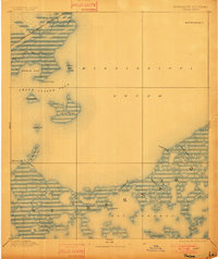
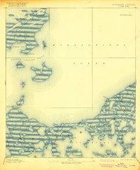
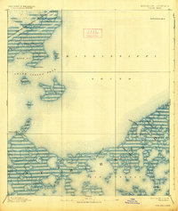
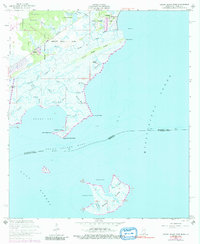
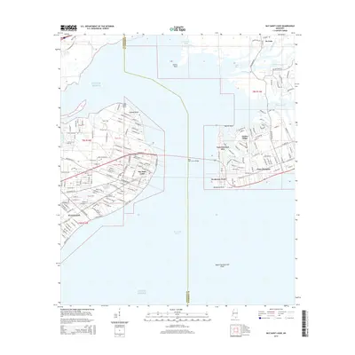
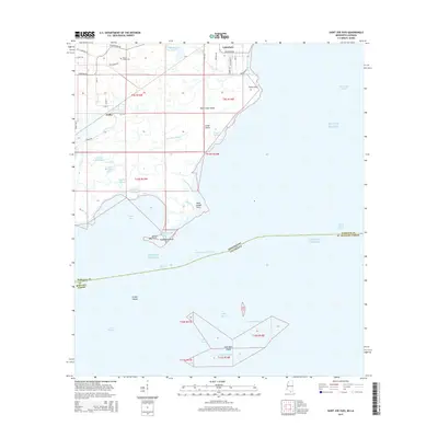
1893 Map of Toulme
USGS Topo · Published 1901About this map
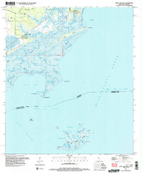
Louisville and Nashville Railroad tracks trace the coastline of the Mississippi Sound at the turn of the century, connecting the small settlement of Toulme to the broader Gulf region. This coastal landscape is defined by a complex network of marshy inlets and bayous, such as Bayou Caddy and Trois Chenes Bayou, which flow into the tidal waters of Heron Bay. The survey, conducted under the direction of J.W. Powell, highlights the navigational significance of these waters through the placement of the St. Joseph Island Light and the Merrill Shell Bank Light.
Find a feature on this map
32 named features on this map. Tap any name to fly to it.
Don’t see what you’re looking for? This feature index may not catch every label — zoom into the map to look around manually.
Map Details
Editions of this 1893 Toulme Map
4 editions found

Historical Maps of Bay Saint Louis Through Time
35 maps found
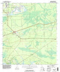
1893 Toulme
Hancock County, MS

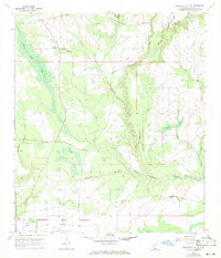
1935 Grand Island Pass
Hancock County, MS
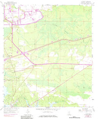
1955 Savannah
Hancock County, MS
1956 Grand Island Pass
Hancock County, MS
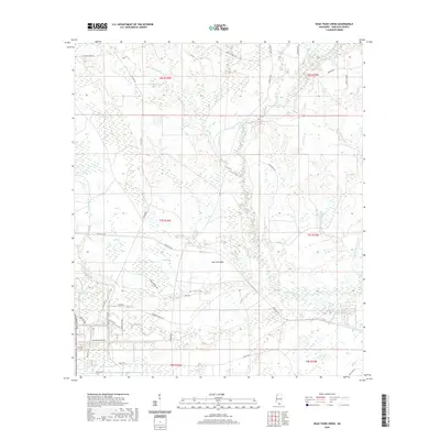
1957 Dead Tiger Creek
Hancock County, MS
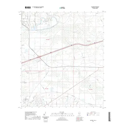
1958 Logtown
Hancock County, MS
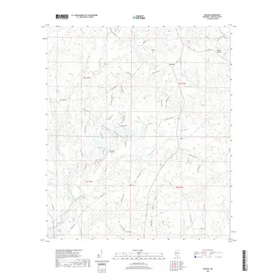
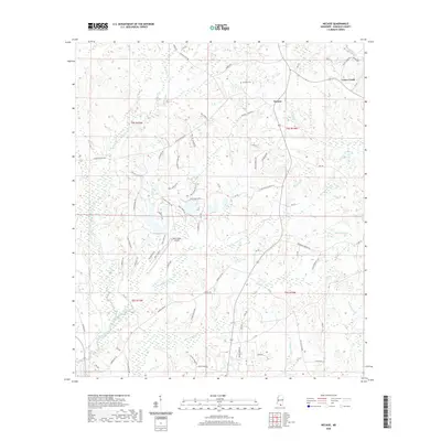
1982 Necaise
Hancock County, MS
1993 Logtown
Hancock County, MS
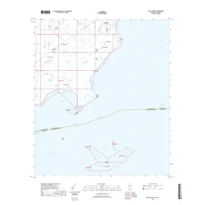
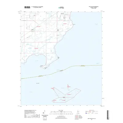
1994 Saint Joe Pass
Hancock County, MS
1996 Dead Tiger Creek
Hancock County, MS
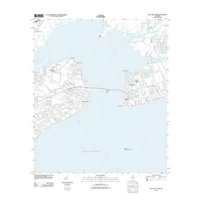
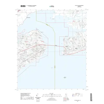
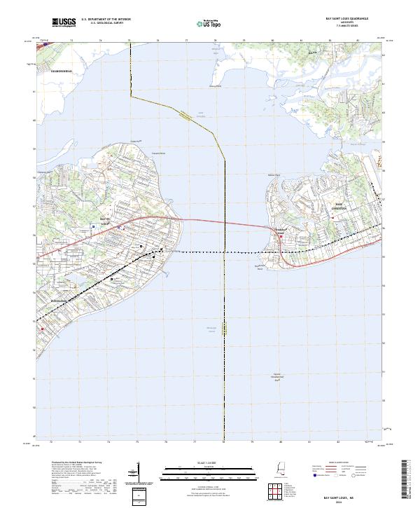
2012 Bay Saint Louis
Hancock County, MS
2012 Dead Tiger Creek
Hancock County, MS
2012 Logtown
Hancock County, MS
2012 Necaise
Hancock County, MS
2012 Saint Joe Pass
Hancock County, MS
2015 Bay Saint Louis
Hancock County, MS
2015 Dead Tiger Creek
Hancock County, MS
2015 Logtown
Hancock County, MS
2015 Necaise
Hancock County, MS
2015 Saint Joe Pass
Hancock County, MS
2018 Bay Saint Louis
Hancock County, MS
2018 Dead Tiger Creek
Hancock County, MS
2018 Logtown
Hancock County, MS
2018 Necaise
Hancock County, MS
2018 Saint Joe Pass
Hancock County, MS
2020 Bay Saint Louis
Hancock County, MS
2020 Dead Tiger Creek
Hancock County, MS
2020 Necaise
Hancock County, MS
2021 Logtown
Hancock County, MS
2021 Saint Joe Pass
Hancock County, MS
2024 Bay Saint Louis
Hancock County, MS
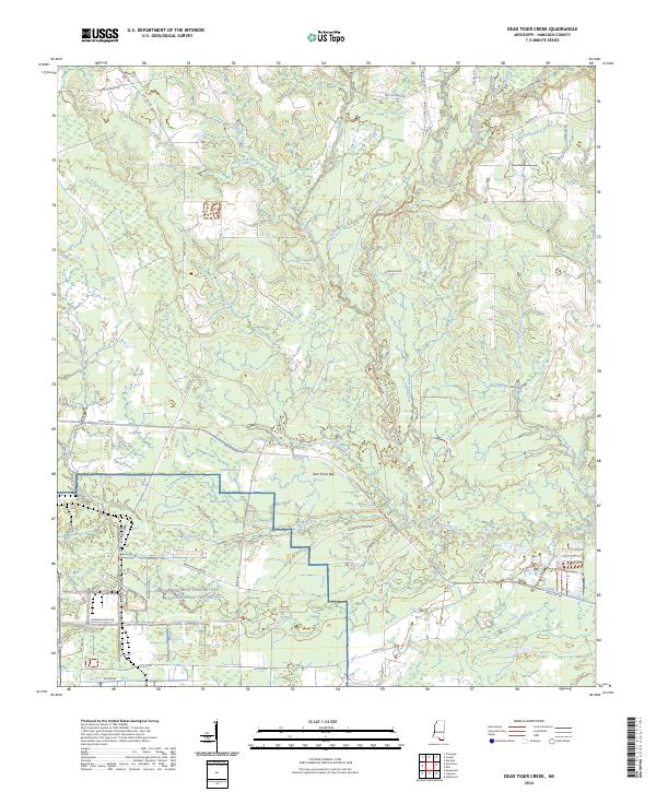
2024 Dead Tiger Creek
Hancock County, MS
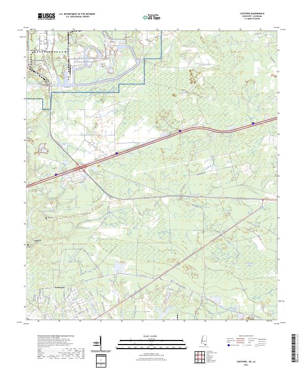
2024 Logtown
Hancock County, MS
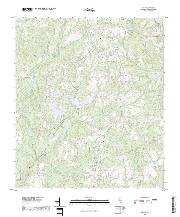
2024 Necaise
Hancock County, MS
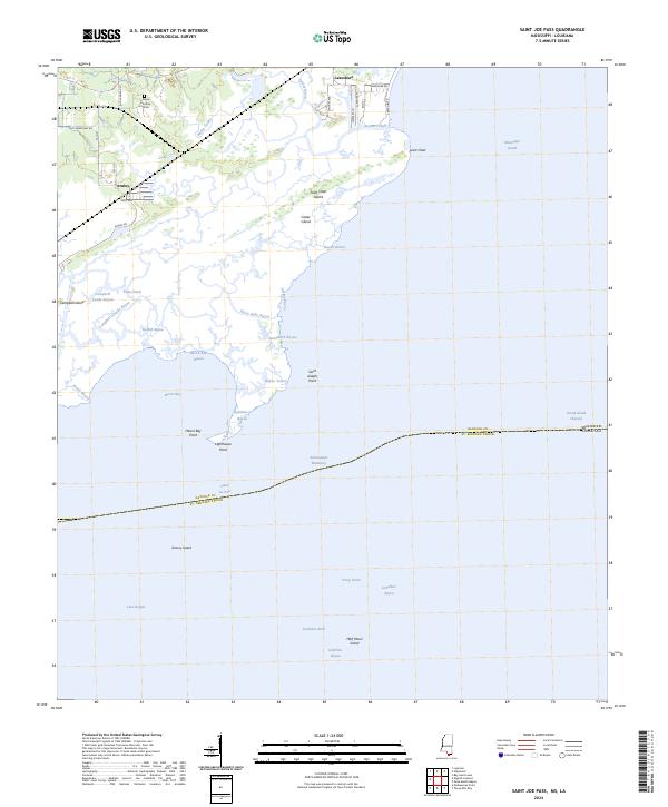
2024 Saint Joe Pass
Hancock County, MS