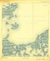
1893 Map of Toulme
USGS Topo · Published 1917About this map
Louisville and Nashville Railroad tracks cut across the marshy northern edge of this coastal landscape, connecting the small settlement of Toulme to the wider Gulf Coast trade network. The map reveals a complex aquatic environment where the Mississippi Sound meets the fragmented wetlands of St Bernard and the northern bayous. Maritime safety is a clear priority in these shallow waters, evidenced by the Merrill Shell Bank Light and a St. Joseph Island Light guarding the entrance to Grand Island Pass.
Find a feature on this map
27 named features on this map. Tap any name to fly to it.
Don’t see what you’re looking for? This feature index may not catch every label — zoom into the map to look around manually.
Map Details
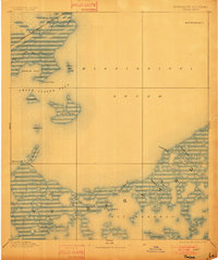
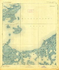
Editions of this 1893 Toulme Map
4 editions found
Other maps of this area

1893 · Cat Island
USGS Topo · 1:62,500

1893 · Rigolets
USGS Topo · 1:62,500

1893 · Chandeleur
USGS Topo · 1:62,500

1893 · Shell Beach
USGS Topo · 1:62,500

1893 · Toulme
USGS Topo · 1:62,500

1895 · Bodreau
USGS Topo · 1:62,500

1914 · Nicholson
USGS Topo · 1:62,500

1921 · Nicholson
USGS Topo · 1:62,500

1935 · English Lookout
USGS Topo · 1:31,680

1935 · Grand Island Pass
USGS Topo · 1:31,680