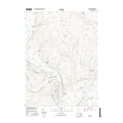
2016 Map of Towanda
USGS Topo · Published 2016About this map
The Susquehanna River carves a deep valley through this Bradford County landscape, defining the development of Towanda and its surrounding riverfront hamlets. This 2016 survey illustrates the concentration of settlement along the river banks, from North Towanda to the southern neighborhood of Macedonia. The terrain is marked by numerous family burial grounds and parish sites, including the Gillette Family Cem and the Saint Peter and Paul Parish Cem, which serve as vital touchstones for local genealogical research.
Find a feature on this map
104 named features on this map. Tap any name to fly to it.
Don’t see what you’re looking for? This feature index may not catch every label — zoom into the map to look around manually.
Map Details
Editions of this 2016 Towanda Map
This is the sole edition of this map. No revisions or reprints were ever made.
Other maps of this area

1923 · Towanda
USGS Topo · 1:62,500

1926 · Towanda
USGS Topo · 1:62,500

1939 · Sayre
USGS Topo · 1:62,500

1942 · Sayre
USGS Topo · 1:62,500

1943 · Towanda
USGS Topo · 1:62,500

1943 · Monroeton
USGS Topo · 1:62,500

1943 · Powell
USGS Topo · 1:62,500

1945 · Powell
USGS Topo · 1:62,500

1948 · Sayre
USGS Topo · 1:62,500

1954 · Williamsport
USGS Topo · 1:250,000