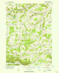
1953 Map of Towlesville
USGS Topo · Published 1955About this map
Hathaways Pinnacle and Oak Hill rise above the Canisteo River valley in this mid-century look at the Steuben County landscape. The area is defined by its deep dissection, where creeks like Goff Creek and Maxwell Creek have carved intricate drainage patterns around high points such as Snell Hill and Miller Hill. This 1950s survey documents a rural society anchored by localized communities and family landmarks, featuring established points like Knight Settlement and Buck Settlement. The presence of the Airway Beacon near Towlesville marks the early Cold War era's aviation infrastructure, while the Erie RR tracks follow the river's edge at the southern boundary. Genealogists will find a dense concentration of burial grounds throughout the hills, including Willis Cem, Dublin Cem, and Hadleyville Cem, many of which sit near remote rural schools and churches like the Oregon Ch.
Find a feature on this map
49 named features on this map. Tap any name to fly to it.
Don’t see what you’re looking for? This feature index may not catch every label — zoom into the map to look around manually.
Map Details
Editions of this 1953 Towlesville Map
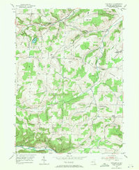
2 editions found
Other maps of this area

1910 · Bath
USGS Topo · 1:62,500

1915 · Hornell
USGS Topo · 1:62,500

1918 · Hornell
USGS Topo · 1:62,500

1924 · Woodhull
USGS Topo · 1:48,000

1926 · Woodhull
USGS Topo · 1:62,500

1926 · Greenwood
USGS Topo · 1:62,500

1944 · Woodhull
USGS Topo · 1:62,500

1950 · Elmira
USGS Topo · 1:250,000

1953 · Cameron
USGS Topo · 1:24,000
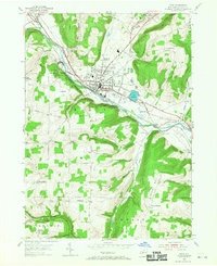
1953 · Bath
USGS Topo · 1:24,000