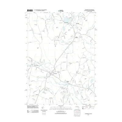
2012 Map of Townsend
USGS Topo · Published 2012About this map
The Nissitissit River and Squannacook River systems define the borderlands between Massachusetts and New Hampshire, anchoring a region of valley settlements and upland heights. In the southern half, Townsend and Townsend Harbor serve as centers of gravity along the river bends, while smaller hamlets like Old City and South Row suggest the historical sprawl of local agricultural and early industrial clusters. Several significant burying grounds, including Townsend Center Cem and Riverside Cem, offer a rich record for genealogists studying the families of Middlesex County and Hillsborough County.
Find a feature on this map
185 named features on this map. Tap any name to fly to it.
Don’t see what you’re looking for? This feature index may not catch every label — zoom into the map to look around manually.
Map Details
Editions of this 2012 Townsend Map
This is the sole edition of this map. No revisions or reprints were ever made.
Other maps of this area

1887 · Fitchburg
USGS Topo · 1:62,500

1889 · Fitchburg
USGS Topo · 1:62,500

1893 · Fitchburg
USGS Topo · 1:62,500

1893 · Groton
USGS Topo · 1:62,500

1900 · Peterboro
USGS Topo · 1:62,500

1906 · Milford
USGS Topo · 1:62,500

1931 · Groton
USGS Topo · 1:48,000

1931 · Fitchburg
USGS Topo · 1:48,000

1935 · Ayer
USGS Topo · 1:24,000

1935 · Groton
USGS Topo · 1:62,500