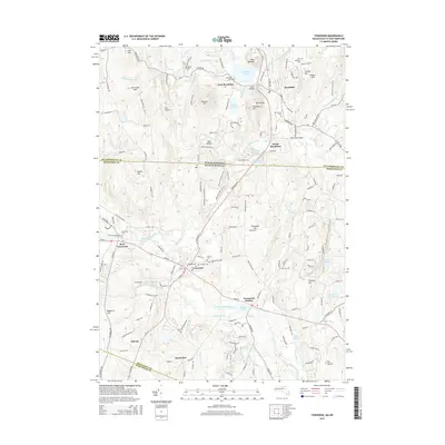
2015 Map of Townsend
USGS Topo · Published 2015About this map
Townsend and its neighboring villages of West Townsend and Townsend Harbor are defined by the winding course of the Squannacook River in this 2015 study. The landscape transitions from the protected woodland of the Townsend State Forest to the small-town residential patterns that follow the RT-13 and Main St corridors. This modern record details the local geography across the state line into Brookline and West Brookline, New Hampshire, where the Nissitissit River flows past Potanipo Pond. Genealogists and local historians can locate several community burial grounds, including the Hillside Cem, Riverside Cem, and the Townsend Center Cem. The presence of small aviation facilities like the Brookline Airport and Zim Airport among the hills and brooks illustrates the contemporary mixed-use character of this border region.
Find a feature on this map
173 named features on this map. Tap any name to fly to it.
Don’t see what you’re looking for? This feature index may not catch every label — zoom into the map to look around manually.
Map Details
Editions of this 2015 Townsend Map
This is the sole edition of this map. No revisions or reprints were ever made.
Other maps of this area

1887 · Fitchburg
USGS Topo · 1:62,500

1889 · Fitchburg
USGS Topo · 1:62,500

1893 · Fitchburg
USGS Topo · 1:62,500

1893 · Groton
USGS Topo · 1:62,500

1900 · Peterboro
USGS Topo · 1:62,500

1906 · Milford
USGS Topo · 1:62,500

1931 · Groton
USGS Topo · 1:48,000

1931 · Fitchburg
USGS Topo · 1:48,000

1935 · Ayer
USGS Topo · 1:24,000

1935 · Groton
USGS Topo · 1:62,500