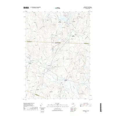
2018 Map of Townsend
USGS Topo · Published 2018About this map
The Squannacook River and Nissitissit River drainage basins define the shared borderlands of Hillsborough, Middlesex, and Worcester counties on this 2018 survey. Centered on the town of Townsend, the landscape transitions from the developed clusters of Townsend Harbor and South Brookline into the preserved woodlands of the Townsend State Forest. Significant genealogical landmarks are documented throughout the region, including the Old Burying Ground, Hillside Cem, and Riverside Cem.
Find a feature on this map
182 named features on this map. Tap any name to fly to it.
Don’t see what you’re looking for? This feature index may not catch every label — zoom into the map to look around manually.
Map Details
Editions of this 2018 Townsend Map
This is the sole edition of this map. No revisions or reprints were ever made.
Other maps of this area

1887 · Fitchburg
USGS Topo · 1:62,500

1889 · Fitchburg
USGS Topo · 1:62,500

1893 · Fitchburg
USGS Topo · 1:62,500

1893 · Groton
USGS Topo · 1:62,500

1900 · Peterboro
USGS Topo · 1:62,500

1906 · Milford
USGS Topo · 1:62,500

1931 · Groton
USGS Topo · 1:48,000

1931 · Fitchburg
USGS Topo · 1:48,000

1935 · Ayer
USGS Topo · 1:24,000

1935 · Groton
USGS Topo · 1:62,500