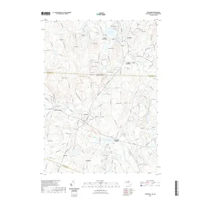
2021 Map of Townsend
USGS Topo · Published 2021About this map
The Squannacook River and Nissitissit River drainage basins define this borderland region where Massachusetts and New Hampshire meet. In the northern section, the village of Brookline is anchored by Potanipo Pond, while further south, the settlement of Townsend serves as a central hub for the surrounding hamlets of West Townsend and Townsend Harbor. This modern record reveals a landscape where historical burial sites like the Old Burying Ground and Riverside Cem coexist with mid-century aviation infrastructure at Zim Airport and Brookline Airport. The topography is marked by distinctive elevations such as The Throne and Devils Den, while the transition from Hillsborough Co to Middlesex Co traces a clear line through the wooded hills and swamps. Local history is etched into the landscape via family-named features like Bixby Reservoir and Gould Mill Brook, reflecting a long-standing pattern of small-scale industry and water management.
Find a feature on this map
186 named features on this map. Tap any name to fly to it.
Don’t see what you’re looking for? This feature index may not catch every label — zoom into the map to look around manually.
Map Details
Editions of this 2021 Townsend Map
This is the sole edition of this map. No revisions or reprints were ever made.
Other maps of this area

1887 · Fitchburg
USGS Topo · 1:62,500

1889 · Fitchburg
USGS Topo · 1:62,500

1893 · Fitchburg
USGS Topo · 1:62,500

1893 · Groton
USGS Topo · 1:62,500

1900 · Peterboro
USGS Topo · 1:62,500

1906 · Milford
USGS Topo · 1:62,500

1931 · Groton
USGS Topo · 1:48,000

1931 · Fitchburg
USGS Topo · 1:48,000

1935 · Ayer
USGS Topo · 1:24,000

1935 · Groton
USGS Topo · 1:62,500