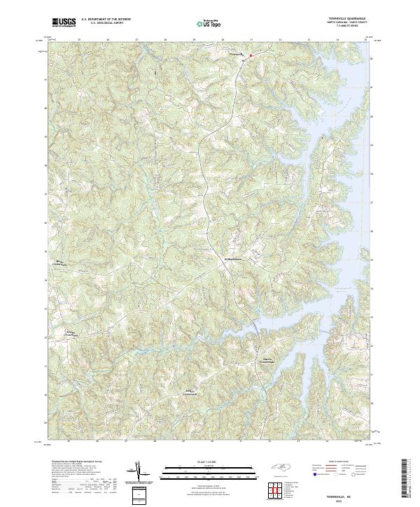
2022 Map of Townsville
USGS Topo · Published 2022About this map
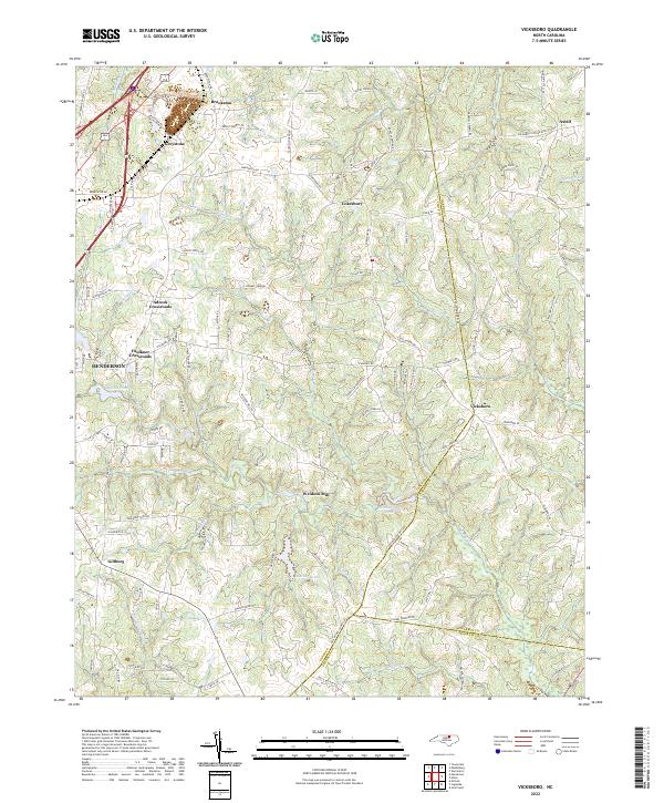
Williamsboro and Townsville serve as the primary hubs in this portion of Vance County, where the landscape is defined by the extensive reach of the John H Kerr Reservoir. The topography is a network of ridges and drainage basins, including Little Nutbush Creek and Little Island Cr, which feed into the larger reservoir system. A series of historic rural junctions, such as Hicks Crossroads, Knotts Crossroads, and Harris Crossroads, illustrate the traditional crossroads settlement pattern of the North Carolina Piedmont.
Find a feature on this map
84 named features on this map. Tap any name to fly to it.
Don’t see what you’re looking for? This feature index may not catch every label — zoom into the map to look around manually.
Map Details
Editions of this 2022 Townsville Map
This is the sole edition of this map. No revisions or reprints were ever made.
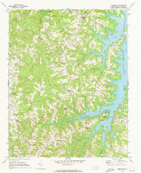
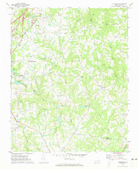
Historical Maps of Harris Crossroads Through Time
6 maps found

Featured Locations
- Harris Crossroads, NC
- Hicks Crossroads, NC
- Island Creek Estates, NC
- Knotts Crossroads, NC
- Williamsboro, NC