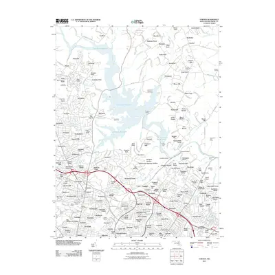
2011 Map of Towson
USGS Topo · Published 2011About this map
Loch Raven Reservoir and the winding Gunpowder Falls dominate the northern landscape of this Baltimore County region, where suburban development meets the protected watershed. The area around Towson reflects its role as a regional center, featuring Towson University and the Towson Post Office. The map captures a high density of residential communities, from established neighborhoods like Springdale and Timonium to smaller developments such as Hampton Village and Riderwood Hills.
Find a feature on this map
191 named features on this map. Tap any name to fly to it.
Don’t see what you’re looking for? This feature index may not catch every label — zoom into the map to look around manually.
Map Details
Editions of this 2011 Towson Map
This is the sole edition of this map. No revisions or reprints were ever made.
Other maps of this area

1893 · Gunpowder
USGS Topo · 1:62,500

1894 · Baltimore
USGS Topo · 1:62,500

1898 · Tolchester
USGS Topo · 1:125,000

1899 · Baltimore
USGS Topo · 1:62,500

1900 · Parkton
USGS Topo · 1:62,500

1901 · Belair
USGS Topo · 1:62,500

1901 · Gunpowder
USGS Topo · 1:62,500

1902 · Parkton
USGS Topo · 1:62,500

1903 · Tolchester
USGS Topo · 1:125,000

1904 · Baltimore
USGS Topo · 1:62,500