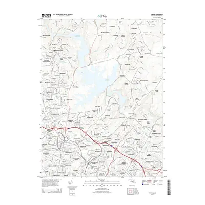
2014 Map of Towson
USGS Topo · Published 2014About this map
The Loch Raven Reservoir dominates the central landscape of this survey, its winding fingers of water such as Dulaney Br and Rush Brook carving through the suburban and rural interface north of Baltimore. This era shows a dense network of established neighborhoods and educational institutions, including the campuses of Goucher Coll and Towson Univ. To the north, the terrain remains less densely developed, marked by the expansive Hampton National Historic Site and smaller settlements like Long Green and Blenheim.
Find a feature on this map
426 named features on this map. Tap any name to fly to it.
Don’t see what you’re looking for? This feature index may not catch every label — zoom into the map to look around manually.
Map Details
Editions of this 2014 Towson Map
This is the sole edition of this map. No revisions or reprints were ever made.
Other maps of this area

1893 · Gunpowder
USGS Topo · 1:62,500

1894 · Baltimore
USGS Topo · 1:62,500

1898 · Tolchester
USGS Topo · 1:125,000

1899 · Baltimore
USGS Topo · 1:62,500

1900 · Parkton
USGS Topo · 1:62,500

1901 · Belair
USGS Topo · 1:62,500

1901 · Gunpowder
USGS Topo · 1:62,500

1902 · Parkton
USGS Topo · 1:62,500

1903 · Tolchester
USGS Topo · 1:125,000

1904 · Baltimore
USGS Topo · 1:62,500