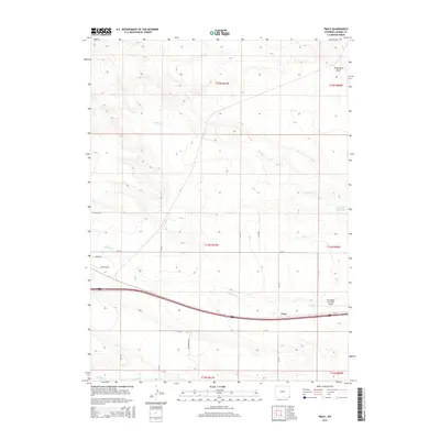
2015 Map of Tracy
USGS Topo · Published 2015About this map
Tracy and the surrounding high plains of eastern Wyoming are defined by the convergence of transportation and water management. Modern infrastructure like the Pine Bluffs Municipal Airport and Interstate 80 sit alongside the natural drainage systems of Lodgepole Cr and Spring Cr. The presence of the Kent Ditch and the Wisroth Reservoir indicates the critical role of water control in this semi-arid landscape, supporting the agricultural needs of the region.
Find a feature on this map
20 named features on this map. Tap any name to fly to it.
Don’t see what you’re looking for? This feature index may not catch every label — zoom into the map to look around manually.
Map Details
Editions of this 2015 Tracy Map
This is the sole edition of this map. No revisions or reprints were ever made.
Other maps of this area

1954 · Cheyenne
USGS Topo · 1:250,000

1958 · Cheyenne
USGS Topo · 1:250,000

1963 · Pine Bluffs
USGS Topo · 1:24,000

1963 · Lindbergh
USGS Topo · 1:24,000

1963 · Burns
USGS Topo · 1:24,000

1963 · Midway SE
USGS Topo · 1:24,000

1963 · Pine Bluffs SE
USGS Topo · 1:24,000

1963 · Carpenter
USGS Topo · 1:24,000

1963 · Pine Bluffs SW
USGS Topo · 1:24,000

1963 · Tracy
USGS Topo · 1:24,000