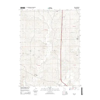
2014 Map of Tracy
USGS Topo · Published 2014About this map
The Platte River meanders through the southern edge of this landscape, anchoring a region of Platte County defined by its agricultural character and scattered small communities. To the north, Camden Point and Haydite sit amidst a network of rural routes such as Interurban Rd and Old Pike Rd, while the settlement of Tracy and the West Platte area mark the southern transition toward the river valley. For those researching family history, the map provides precise locations for numerous burial grounds, including Kitchen Cemetery, Pleasant Ridge Cemetery, and Wilkerson Cemetery. These rural landmarks, along with aviation sites like Triple R Airport and Flintlock Field, illustrate the evolution of land use in the early 21st century. The complex drainage of the area is visible through named tributaries like Bee Creek, Jowler Cr, and Owl Cr, which carve through the terrain between established farmsteads and rural subdivisions.
Find a feature on this map
62 named features on this map. Tap any name to fly to it.
Don’t see what you’re looking for? This feature index may not catch every label — zoom into the map to look around manually.
Map Details
Editions of this 2014 Tracy Map
This is the sole edition of this map. No revisions or reprints were ever made.
Other maps of this area

1890 · Kansas City
USGS Topo · 1:125,000

1894 · Kansas City
USGS Topo · 1:125,000

1910 · Leavenworth
USGS Topo · 1:62,500

1914 · Smithville
USGS Topo · 1:62,500

1925 · Gower
USGS Topo · 1:62,500

1927 · Dearborn
USGS Topo · 1:62,500

1948 · Leavenworth
USGS Topo · 1:62,500

1950 · Kansas City
USGS Topo · 1:250,000
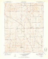
1950 · Ferrelview
USGS Topo · 1:24,000
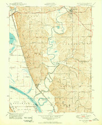
1950 · Platte City
USGS Topo · 1:24,000