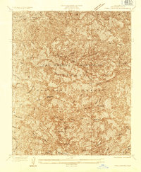
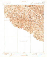
1935 Map of Trail Canyon
USGS Topo · Published 1935About this map
The San Gabriel Mountains dominate this 1935 advance sheet, a landscape defined by sharp elevation changes and the early infrastructure of the Los Angeles National Forest. Surveyed by C. P. McKinley, the map documents a complex network of fire protection and accessibility, marked by numerous Firebreak lines and Trail routes that crisscross the steep terrain. Water sources are critical points of interest in this environment, from the Yerba Buena Spring and Big Cienega to the deep cuts of Pacoima Canyon and Bear Canyon. High points like Condor Peak and Iron Mtn provide the primary landmarks for navigation through the northern Los Angeles County backcountry before modern development pushed further into these interior canyons. The detailed contour work illustrates the natural drainage patterns toward Tujunga and the Santa Clara region.
Find a feature on this map
29 named features on this map. Tap any name to fly to it.
Don’t see what you’re looking for? This feature index may not catch every label — zoom into the map to look around manually.
Map Details
Editions of this 1935 Trail Canyon Map
This is the sole edition of this map. No revisions or reprints were ever made.
Other maps of this area

1900 · Tujunga
USGS Topo · 1:62,500

1900 · Fernando
USGS Topo · 1:62,500

1901 · Southern California Sheet No. 1
USGS Topo · 1:250,000

1904 · Southern California Sheet No. 1
USGS Topo · 1:250,000
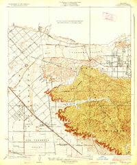
1926 · Sunland
USGS Topo · 1:24,000
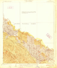
1928 · La Crescenta
USGS Topo · 1:24,000

1929 · Lang
USGS Topo · 1:24,000

1930 · Ravenna
USGS Topo · 1:24,000
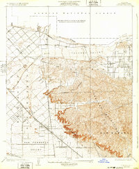
1932 · Sunland
USGS Topo · 1:24,000
1933 · La Crescenta
USGS Topo · 1:24,000