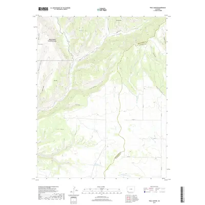
2019 Map of Trail Canyon
USGS Topo · Published 2019About this map
Mesa Verde National Park occupies the northwestern corner of this territory, where the massive Big Mesa and East Rim overlook the carved canyons of the southwest. The Mancos River serves as the primary drainage, cutting south through the landscape between Weber Mtn and the sprawling Lewis Mesa. This 2019 survey documents a rugged transition where high desert plateaus meet vital water management infrastructure, including the Upper Reservoir and Harrison Reservoir. The survey area also captures the county line dividing Montezuma and La Plata Counties, following the course of Johnny-Pond Arroyo. A network of remote routes like Co RD 41 and Forest Access Rd provide limited access to the steep elevations of Menefee Mtn and the deep recesses of Weber Canyon.
Find a feature on this map
36 named features on this map. Tap any name to fly to it.
Don’t see what you’re looking for? This feature index may not catch every label — zoom into the map to look around manually.
Map Details
Editions of this 2019 Trail Canyon Map
This is the sole edition of this map. No revisions or reprints were ever made.
Other maps of this area

1895 · La Plata
USGS Topo · 1:62,500

1897 · La Plata
USGS Topo · 1:62,500

1899 · La Plata
USGS Topo · 1:62,500

1908 · La Plata
USGS Topo · 1:62,500

1912 · Soda Canyon
USGS Topo · 1:62,500

1913 · Red Mesa
USGS Topo · 1:62,500

1915 · Soda Canyon
USGS Topo · 1:62,500

1956 · Cortez
USGS Topo · 1:250,000

1958 · Cortez
USGS Topo · 1:250,000

1959 · Cortez
USGS Topo · 1:250,000