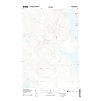
2014 Map of Tramway
USGS Topo · Published 2014About this map
Tramway serves as a focal point in this remote corner of Maine, where the waters of Eagle Lake and Chamberlain Lake meet. The landscape is defined by its complex network of waterways, including the winding Allagash Stream and its descent at Little Allagash Falls. This 2014 survey documents a territory shaped by timber history and isolation, reachable via forest routes like Grande Marche Rd and Narrow Pond Rd.
Find a feature on this map
21 named features on this map. Tap any name to fly to it.
Don’t see what you’re looking for? This feature index may not catch every label — zoom into the map to look around manually.
Map Details
Editions of this 2014 Tramway Map
This is the sole edition of this map. No revisions or reprints were ever made.
Other maps of this area

1954 · Chesuncook
USGS Topo · 1:62,500

1954 · Caucomgomoc Lake
USGS Topo · 1:62,500

1954 · Churchill Lake
USGS Topo · 1:62,500

1954 · Allagash Lake
USGS Topo · 1:62,500

1954 · Presque Isle
USGS Topo · 1:250,000

1958 · Presque Isle
USGS Topo · 1:250,000

1958 · Chesuncook
USGS Topo · 1:62,500

1958 · Caucomgomoc Lake
USGS Topo · 1:62,500

1960 · Presque Isle
USGS Topo · 1:250,000

1961 · Allagash Lake
USGS Topo · 1:62,500