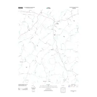
2013 Map of Tranquillity
USGS Topo · Published 2013About this map
Tranquillity sits at the center of this rural landscape, where a network of ridge roads and valley streams defines the local geography. The area's settlement pattern is anchored by small community centers like Boggess Crossroad, Sewee, and Fiketon, which are connected by a dense grid of county roads. The importance of local industry and education to the region's heritage is evident through labels such as Collins Mill and Pisgah Academy Rd.
Find a feature on this map
120 named features on this map. Tap any name to fly to it.
Don’t see what you’re looking for? This feature index may not catch every label — zoom into the map to look around manually.
Map Details
Editions of this 2013 Tranquillity Map
This is the sole edition of this map. No revisions or reprints were ever made.
Other maps of this area

1886 · Cleveland
USGS Topo · 1:125,000

1887 · Kingston
USGS Topo · 1:125,000

1891 · Kingston
USGS Topo · 1:125,000

1892 · Cleveland
USGS Topo · 1:125,000

1893 · Kingston
USGS Topo · 1:125,000

1895 · Cleveland
USGS Topo · 1:125,000

1901 · Cleveland
USGS Topo · 1:125,000

1935 · Niota
USGS Topo · 1:24,000

1935 · Athens
USGS Topo · 1:24,000

1935 · Goodfield
USGS Topo · 1:24,000