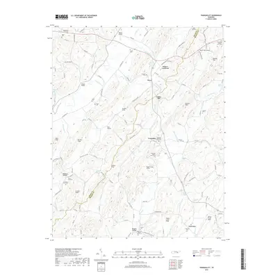
2019 Map of Tranquillity
USGS Topo · Published 2019About this map
Sewee Creek and its many tributaries, including Big Sewee Creek and Little Sewee Creek, carve a complex landscape across the border of Meigs and McMinn counties. The terrain is defined by a series of parallel ridges such as No Pone Ridge and McMinn Ridge, which create sheltered corridors like No Pone Valley and Rogers Creek Valley. These valleys have long served as the primary sites for settlement and agriculture, evidenced by the cluster of small communities and crossroads such as Tranquillity, Sewee, and Boggess Crossroad.
Find a feature on this map
105 named features on this map. Tap any name to fly to it.
Don’t see what you’re looking for? This feature index may not catch every label — zoom into the map to look around manually.
Map Details
Editions of this 2019 Tranquillity Map
This is the sole edition of this map. No revisions or reprints were ever made.
Other maps of this area

1886 · Cleveland
USGS Topo · 1:125,000

1887 · Kingston
USGS Topo · 1:125,000

1891 · Kingston
USGS Topo · 1:125,000

1892 · Cleveland
USGS Topo · 1:125,000

1893 · Kingston
USGS Topo · 1:125,000

1895 · Cleveland
USGS Topo · 1:125,000

1901 · Cleveland
USGS Topo · 1:125,000

1935 · Niota
USGS Topo · 1:24,000

1935 · Athens
USGS Topo · 1:24,000

1935 · Goodfield
USGS Topo · 1:24,000