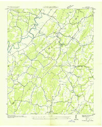
1941 Map of Tranquillity
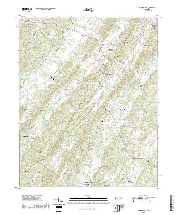
USGS Topo · Published 1960About this map
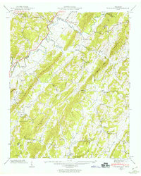
Powdermaker Ridge and Newman Ridge define the landscape of this McMinn County region, where rural life in the 1940s was anchored by a network of small schools and country churches. The Tennessee Valley Authority's field examination captures the area as it functioned before modern infrastructure transformed these valley communities. Small settlements like Tranquillity and Bogge Crossroad serve as central nodes for the surrounding farms, while local industry is represented by Collins Mill along the South Fork Little Sewee Creek. For genealogists, the map is particularly rich, identifying family-linked landmarks such as the Hutsell Cem and Goddard Cem, alongside community centers like the Walnut Grove School and Rogers Creek Ch. The drainage patterns of Big Sewee Creek and Possumtrot Creek illustrate the natural corridors that dictated the placement of early roads and homesteads.
Find a feature on this map
50 named features on this map. Tap any name to fly to it.
Don’t see what you’re looking for? This feature index may not catch every label — zoom into the map to look around manually.
Map Details
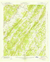
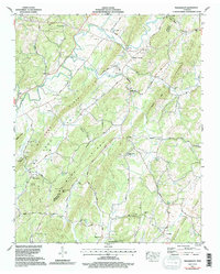
Editions of this 1941 Tranquillity Map
2 editions found

Historical Maps of Clearwater Through Time
5 maps found