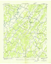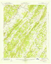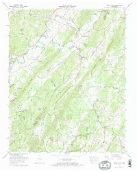
1973 Map of Tranquillity
USGS Topo · Published 1974About this map
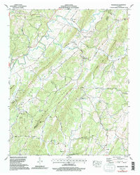
Tranquillity and the surrounding rural landscape of McMinn County are defined by a series of prominent geological ridges and the winding course of Big Sewee Creek. This 1970s survey captures the area during a period of established agricultural and community life, anchored by numerous country churches such as Hickory Flat Ch and Morning View Ch. The terrain is marked by distinctive features like No Pone Ridge and Mc Minn Ridge, which dictate the placement of local roads and family-named landmarks. The map offers significant value for local historians and genealogists, pinpointing numerous small burial grounds including Hutsell Cem and Turkeypen Cem. Water sources were clearly vital to the settlement pattern, evidenced by named springs like Simpson Spring and the industrial presence of Collins Mill along South Fork Clearwaer Branch. Deep caves, such as Wattenbarger Cave, further characterize this karst landscape along the border with Meigs County.
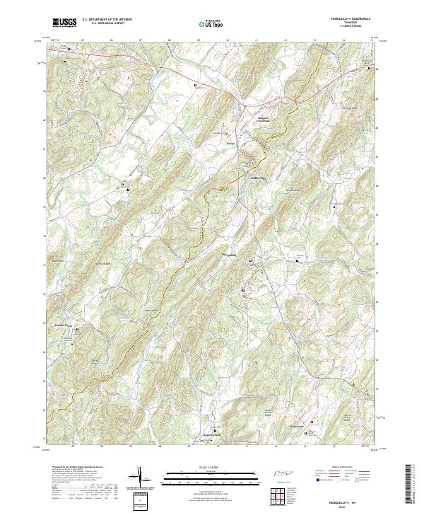
Find a feature on this map
55 named features on this map. Tap any name to fly to it.
Don’t see what you’re looking for? This feature index may not catch every label — zoom into the map to look around manually.
Map Details
Editions of this 1973 Tranquillity Map
2 editions found
Historical Maps of Clearwater Through Time
5 maps found