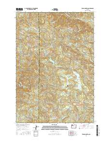
2017 Map of Trask Mountain
USGS Topo · Published 2017About this map
Siuslaw National Forest covers the eastern portion of this quadrangle, where the headwaters of several key regional water systems originate along the Coast Range divide. The topography is defined by prominent summits such as Trask Mtn and Sheridan Peak, which serve as drainage points for the Nestucca River and the N Yamhill River. This 2017 survey reveals a landscape heavily managed for water resources, featuring multiple catchments including McGuire Reservoir, Walker Cr Reservoir, and the uniquely named Such Jojo Reservoir.
Find a feature on this map
52 named features on this map. Tap any name to fly to it.
Don’t see what you’re looking for? This feature index may not catch every label — zoom into the map to look around manually.
Map Details
Editions of this 2017 Trask Mountain Map
This is the sole edition of this map. No revisions or reprints were ever made.
Other maps of this area

1942 · Ginger Peak
USGS Topo · 1:62,500

1942 · Sheridan
USGS Topo · 1:62,500

1942 · Spirit Mtn
USGS Topo · 1:62,500

1942 · Fairdale
USGS Topo · 1:62,500

1948 · Vancouver
USGS Topo · 1:250,000

1950 · Vancouver
USGS Topo · 1:250,000

1950 · Vancouver
USGS Topo · 1:250,000

1955 · Blaine
USGS Topo · 1:62,500

1955 · Fairdale
USGS Topo · 1:62,500

1955 · Grand Ronde
USGS Topo · 1:62,500